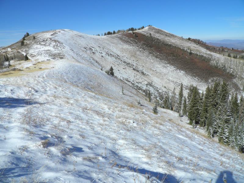
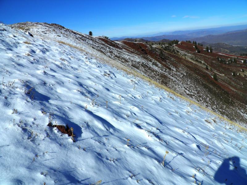
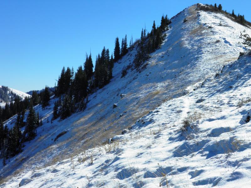
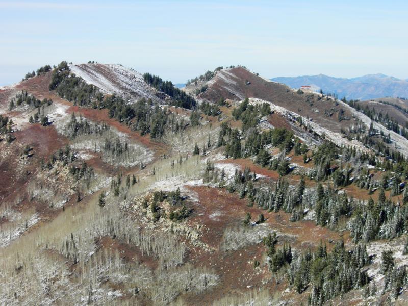
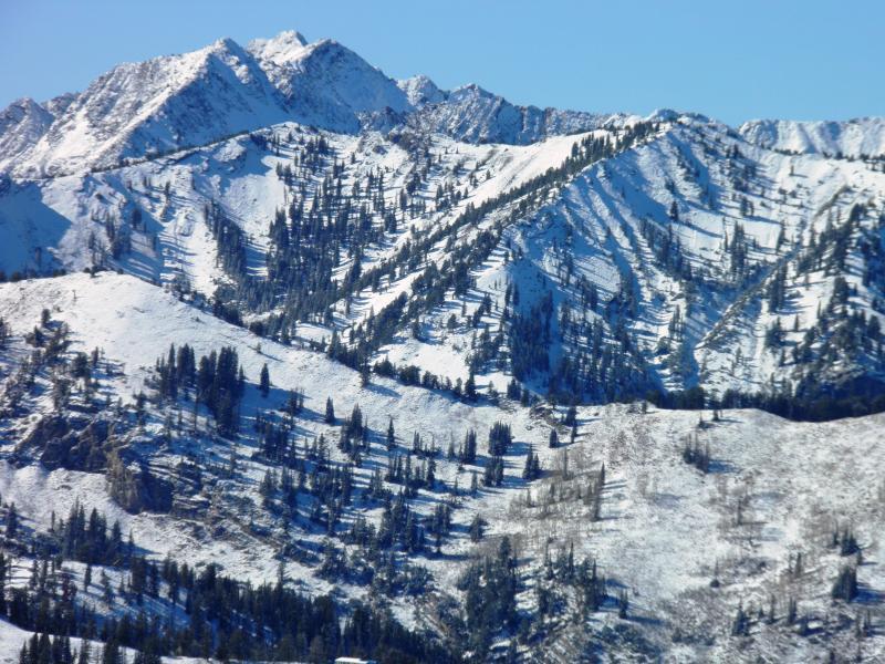
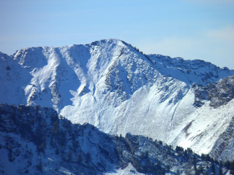
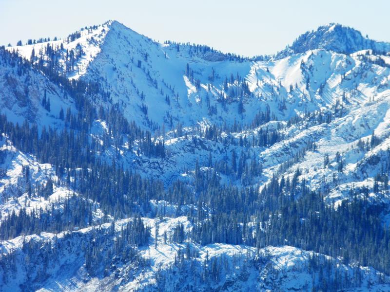
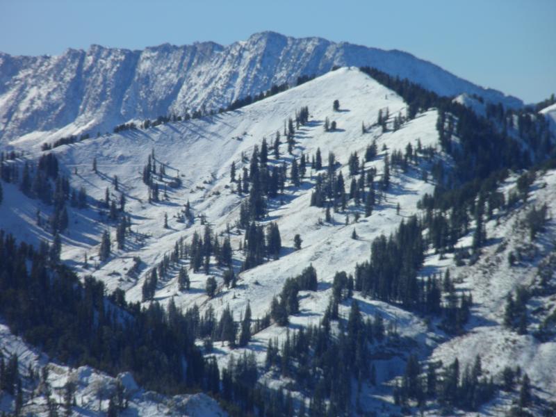
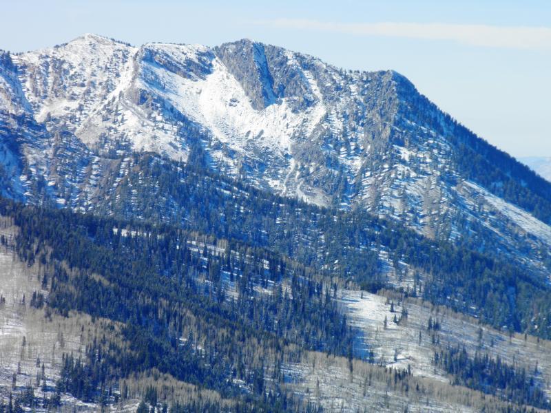
Went to take a look at the snow coverage from the last storm, was glad to see that it was not much of a storm. 10,000ft north facing West Monitor had about 3 maybe 4 inches of light density powder in the starting zone, anything in the bowl with any east or west aspect was bare or will be in the next couple days. the rest of the PC Ridgeline had less amounts to none as you will be able to see in the photos. the only areas that looked like they were holding enough snow to form a weak layer was the high shady norths in the top of BCC and LCC, the usual suspects this time of year, Sunset, Rocky Point, Upper Days, Cardiac Bowl ect.. Cardiac Ridge and some of the other high east facing looked really thin and in my opinion will not develop a weak faceted layer, but will either develop a crust or melt out completely. South facing is bare or will be bare by the next storm. Photos, S Monitor, West Monitor, Scotts, McDonalds, Dutches, Upper Days, Cardiac Ridge, Sunset, Rocky Point, and a few others.
Thinking there will be no widespread activity when we receive the next storm, just some booby traps lurking on the high north.


