Observation: Twin Lakes area

Observation Date
5/12/2014
Observer Name
John Mletschnig
Region
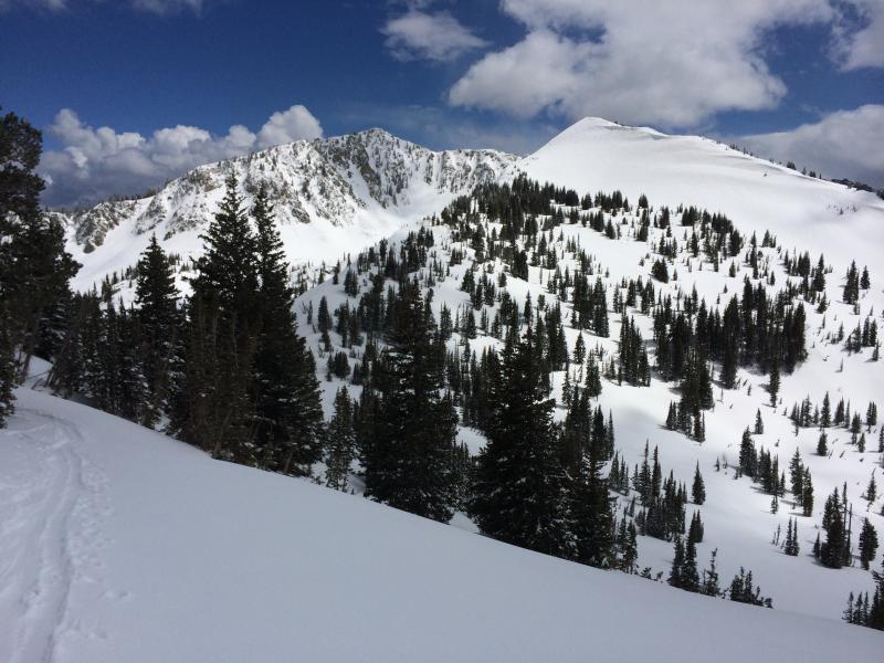
Salt Lake » Big Cottonwood Canyon » Twin Lakes area
Location Name or Route
Wolverine-Honeycomb-Silver Fork
Weather
Sky
Broken
Precipitation
Light Snowfall
Wind Direction
Northwest
Wind Speed
Light
Weather Comments
Sporadic sun and snow showers
Snow Characteristics
New Snow Depth
8"
Snow Surface Conditions
Powder
Wind Crust
Damp
Snow Characteristics Comments
Beatiful settled cold snow in mid elevation north, northwest. Wind affect widespread on high or non sheltered slopes windward to prevailing north-easterlies from yesteterdays storm. The sun got to most slopes by the end of the day aside from protected NNW above 9000'
Red Flags
Red Flags
Wind Loading
Rapid Warming
Red Flags Comments
Avalanche Problem #1
Problem
Wet Snow
Trend
Same
Problem #1 Comments
Slopes rapidly picked up heat today and tomorrow should be similar. Wet and loose activity is the primary concern.
Avalanche Problem #2
Problem
Persistent Weak Layer
Trend
Decreasing Danger
Problem #2 Comments
Wind slabs seemed to be bonding fairly readily at mid elevations but I would expect slabs at high elevation to remain sensitive particularly being that many will be facing the south half of the compass and picking up heat as a result.
Today's Observed Danger Rating
Moderate
Tomorrows Estimated Danger Rating
Moderate