Observation: Park City Ridgeline

Observation Date
4/28/2014
Observer Name
Kendall/Passey
Region
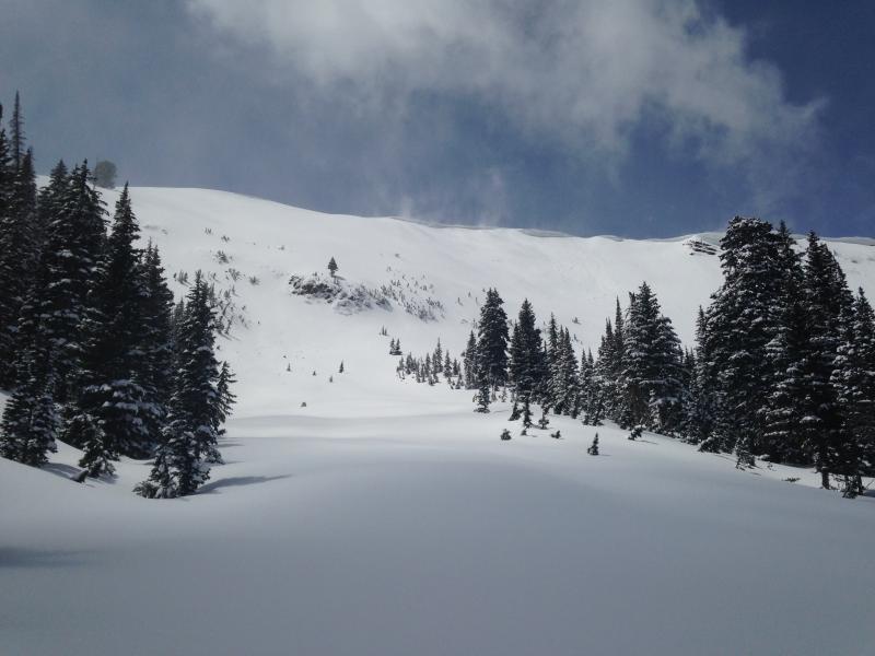
Salt Lake » Park City Ridgeline
Location Name or Route
Park City Ridgeline
Weather
Precipitation
Light Snowfall
Wind Direction
West
Weather Comments
Wow! What a spring powder day! "It's too cold... it's too hot... Brrrr, that wind!" Fast moving high clouds with quick pockets of blue sky and intense sunshine made the 12" of new powder very enjoyable. The day also provided periods of annoyingly cold rigeline winds, difficult visibility and some graupel/snow showers.
Snow Characteristics
New Snow Depth
12"
New Snow Density
Medium
Snow Surface Conditions
Powder
Wind Crust
Snow Characteristics Comments

Surprisingly, nice cold powder was still hanging tough on upper elevation slopes late afternoon. The new snow had bonded well to the old dirty crust layer which has become very moist. Solar aspects started to become damp by the end of the day and were most noticeable on our W facing Willows exit at/and below 9400ft at 4pm.

Winds were stripping the W side of the ridgeline down to bushes/rocks and heavily loading the E side.

Temps remained cold throughout the day and the small pockets of sunshine didnt seem to affect the high elevation snow (although wind did in some areas). This will change as high pressure and warming temperatures take over for the remainder of the week.

Red Flags
Red Flags
Recent Avalanches
Heavy Snowfall
Wind Loading
Cracking
Rapid Warming
Red Flags Comments
Avalanche debris was seen in both S and W Monitor. The bowls continued to get wind loaded throughout the day by a steady WSW wind. We had some shooting cracks in the new snow on our N facing decents. Overall, we found conditions to be very manageable in appropriate terrain.
Comments

Winds loading W Monitor

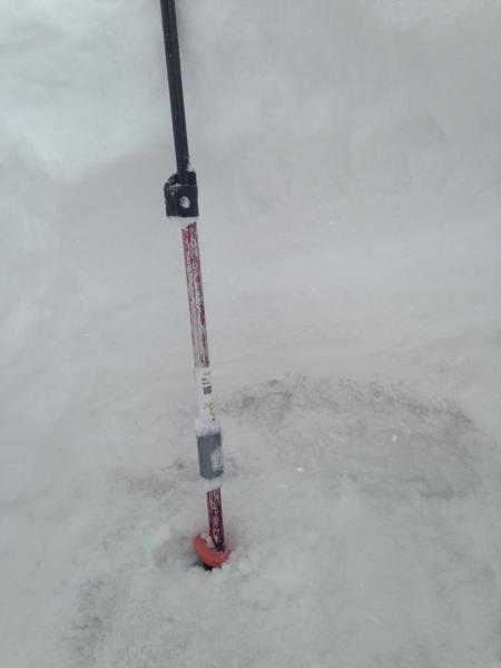
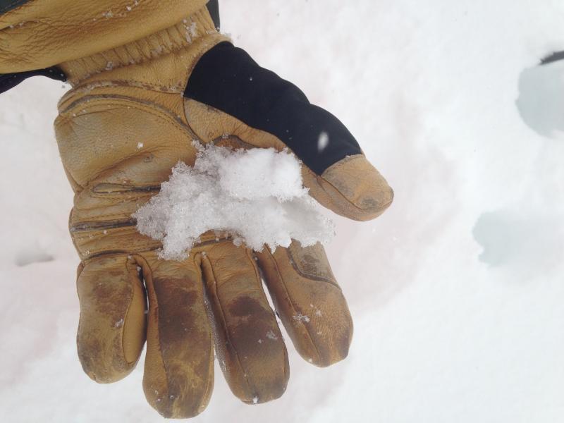
4/22 Dirt layer slushy below 12"- 18" of new storm snow.

Today's Observed Danger Rating
Moderate
Tomorrows Estimated Danger Rating
Moderate