Skied throughout Days Fork today with an 0900 start. Benign conditions at the start, and snow instabilities were in lock step with warming from the sun filtering through the clouds.
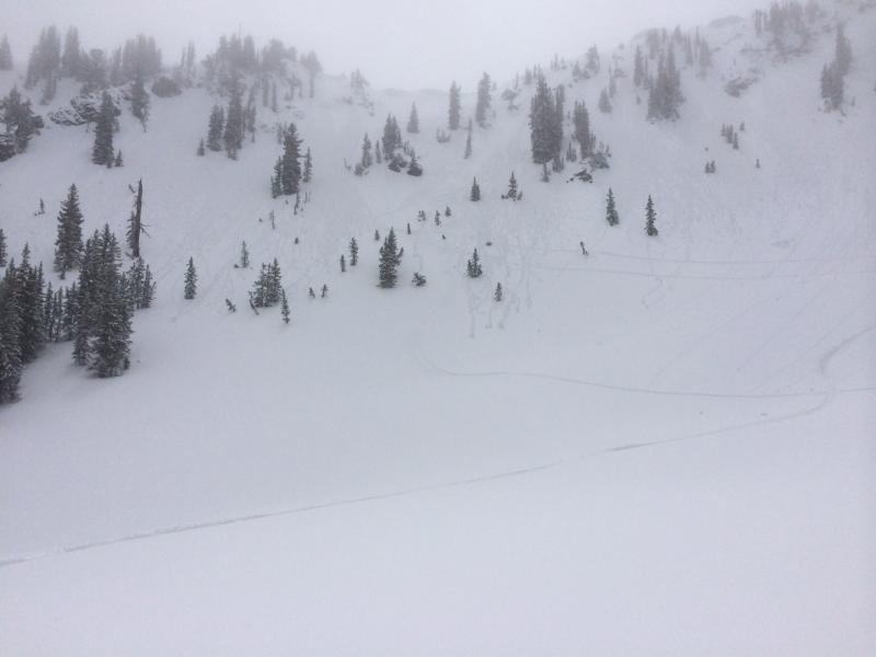
By 1030, greenhousing was full on leaving the storm snow very heavy and somewhat inverted. As the snow surface dampened and weakened the bonds below, it became increasingly easy to pull out shallow, damp slabs running down to old snow surface. However, there isn't much storm snow and the slabs were not propagating very widely (my partner triggered one that was at most 8 meters (~25') wide) nor running very far.
No wind drifting and ski cuts are quite effective at managing this spring storm snow instability.
Cloud cover kept wet slide activity to a minimum when exiting Emma Ridges at 0200, although we were able to ski cut several small damp/wet slabs on steeper aspects.
Evening Cottonwood Canyon forecast was not posted as I submitted this observation, but if temps cool I imagine Friday pm/Saturday am storm snow will quickly stabilize and any additional storm snow should bond well to existing surface.
Rollerballs began streaming down from steeper aspects by late morning with warming.
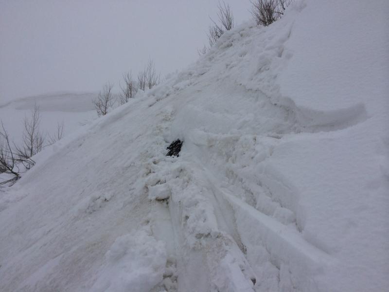
Bed surface (with dirt layer from 4/22 pre-frontal winds) from ski cut on steeper aspect at 9500'