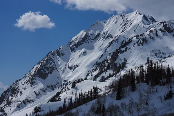
The main problem is wet avalanche activity from the prolonged warming . Most of the activity has probably alread occurred but this is the first time this snowpack has undergone a prolonged thaw with percolating melt water, so you always have to be a bit suspicious of deeper weak layers that can be activated by becoming wet for the first time. Luckily, our snowpack is fairly stable but in the thinner snowpack areas we could have some monkey business going on with faceted snow becoming wet, which is always a danger.
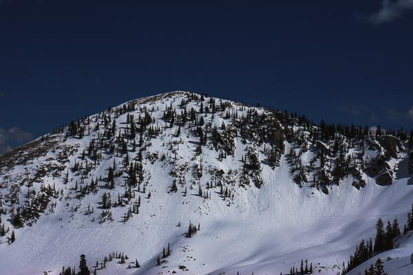
The north facing slopes above about 9,000' remain dry under a thinner skin of damp snow on the surface. But the lower elevation north faces seem to be going through a minor wet cycle. Most of the southerlly facing slopes have been sluffing and producing roller balls for the past 3 days and I suspect that most of the activity is probably already occurred but Friday is supposed to be the hottest day of this warming so we should continue to avoid being on or underneath steep slopes when they get wet in the mid day to afternoon.
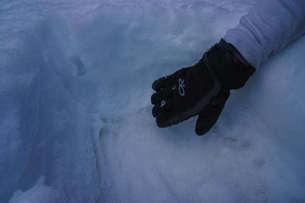
The water seems to be pooling within the recent, finer-grained snow just above the dusty layer of more mature melt-freeze snow buried about a foot down in the snowpack. I was getting collapsing on that layer in the compression tests and it's the layer that shears off, but with a hard shear. In the steeper terrain where slabs have been occurring, I suspect it's on this layer.