Observation Date
4/1/2014
Observer Name
Jeff Morton
Region
Salt Lake » Big Cottonwood Canyon » Reynolds Pk
Location Name or Route
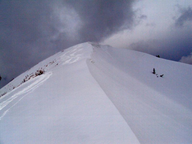
Reynolds Peak
Weather
Sky
Overcast
Precipitation
Moderate Snowfall
Wind Direction
West
Wind Speed
Moderate
Weather Comments
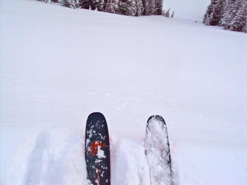
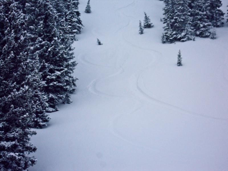
We experienced moderate snowfall during our climb and the winds stayed light below the trees. On the peak the snowfall was much heavier and the winds were perfect for blowing all the new snow around. The snow seemed fairly light, my partner commented that he finally felt we were getting the good Utah powder again.
Snow Characteristics
New Snow Depth
12"
New Snow Density
Low
Snow Surface Conditions
Powder
Wind Crust
Snow Characteristics Comments
The snow depths from 7500-8500 were around 3"- 5" but the higher you got the deeper the snow, felt like 12" on Reynolds. There was a crust beneath the new snow at all elevations and aspects we crossed.
Red Flags
Red Flags
Recent Avalanches
Wind Loading
Collapsing
Red Flags Comments
We were able to see the crown of the avalanche from yesterday but you could tell that the area had reloaded and could easily go again. The loading was sporadic and we saw evidence on several different aspects today. The slabs were on the soft side with little structure but we were able to ski cut a few wind loaded areas on lower angle terrain and they would have let go if we were on steeper slopes. There was also collapsing in several areas, but these instances were isolated to the wind affected terrain.
Avalanche Problem #1
Problem
Persistent Weak Layer
Trend
Increasing Danger
Problem #1 Comments
I would say this would be an increasing problem throughout the day and continuing tomorrow. The winds on the ridges were doing some work this morning and loading several aspects.
Avalanche Problem #2
Problem
New Snow
Trend
Same
Problem #2 Comments
The snow was getting deep at the upper elevations and is sitting on a crust that may allow the snow to run. The new snow seemed to be bonding fairly well with the interface but we experienced several instances where the new snow was sliding on the crust.
Comments
There was a lot of loading going on and the snow was light and easy for the wind to pick up. Our biggest problem is going to be the wind slabs at upper elevations. I would also think about the snow structure. From other observations there are several weak layers and this appears to be a lingering snow event so the loading may be putting some stress on the weak layers from the last few cycles. The danger today was considerable on the upper slopes for wind slabs and the problem should continue into Wednesday.
Today's Observed Danger Rating
Considerable
Tomorrows Estimated Danger Rating
Considerable