Low danger in the morning with some fresh snow and good travel conditions = good time to get after somewhat larger objectives. Travel today into Broads Fork. Two items of interest noted today:
(1) Wet activity started going off on East aspects at 0915 with rollerballs coming down from steeper cliff areas above. The rollerballs quickly became several class 1 wet slides. We had expected this and carefully put in an uptrack that avoid runout from wet slide activity from above.
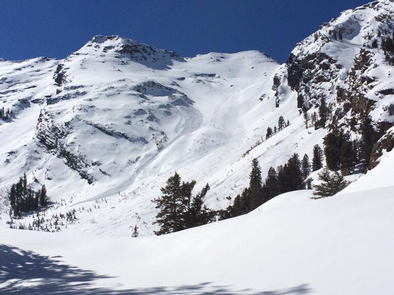
(2) Glide avalanche that occurred at 1000 on NW aspect at 9500'. Ran approximately 700' vertical. We reported it in a separate avalanche occurrence observation.
Wet slide activity is easily managed through timing and route selection. Glide slides spook me. We are entering the season where they become more common, and Broads Fork is well noted for them. When we entered Broads we noticed an old crown and debris from an apparent glide avalanche that ran lookers right of Blue Ice. This was filled in with snow from this past week, so am unsure when that slide had run. I understand very little about glide avalanches other than they typically occur in terrain where the snowpack is underlain by rock slabs, and meltwater percolating down through the snowpack lubricates the bed surface. They also seem to be mostly natural avalanches, and can occur without warning.
Photos:
1. Glide avalanche.
2. Wet activity that began on steep East aspects at 0915.
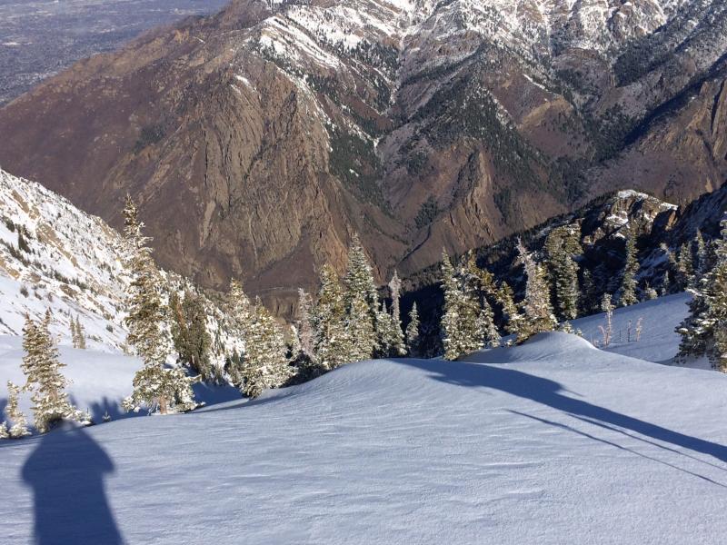
3. Low elevation terrain in BCC not looking very ski-friendly.
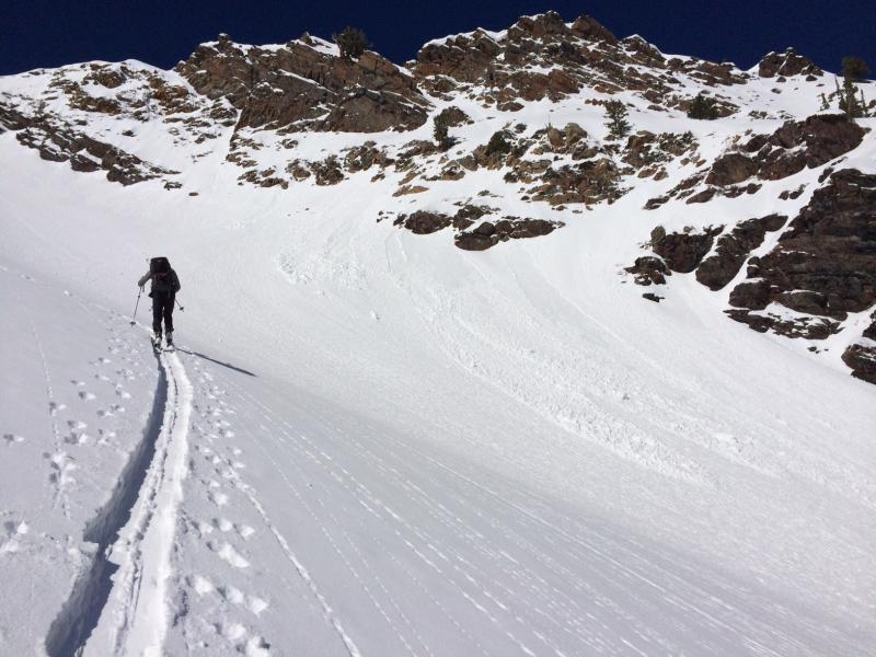
My partner Mark Johnston (of which the classic Johnston Memorial Couloir is named) was taking some video of all the roller balls descending upon us, when wet naturals started occurring. We had anticipated this sort of activity, and put in an appropriate uptrack to avoid runout of wet slides.
Today's hazard is Moderate with wet activity the likely culprit. Cottonwood Canyon forecast shows temps ~ -5C, so likely Low hazard on Sunday morning, with hazard rising with wet solar activity.


