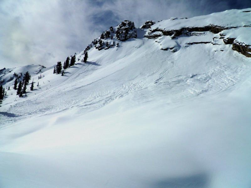
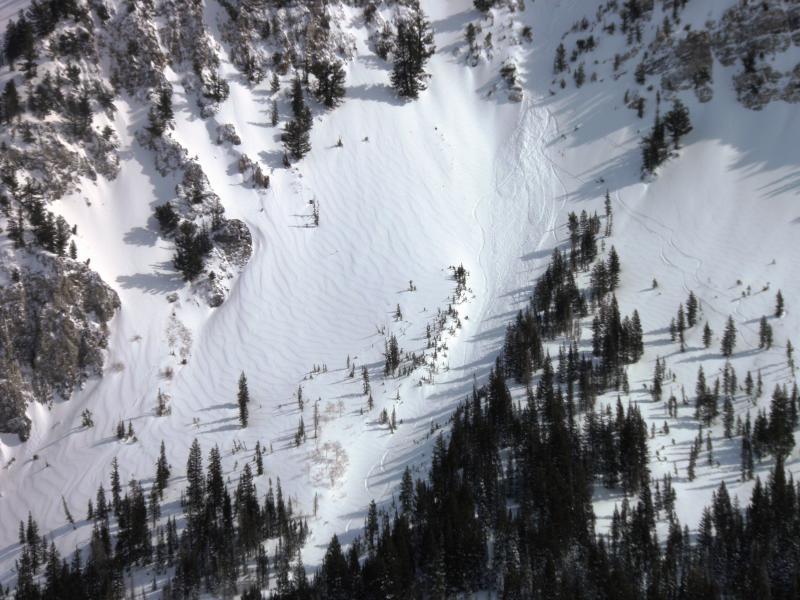
Broke trail up Toledo Bowl this morning, before the wind started to blow, you could feel the density inversion in the new snow, lighter density on the bottom capped off with denser layer of snow and graupel on top. This inversion would get worst as the day progressed because the wind was slabbing the surface up. Skied Toledo before the sun and green housing had its way with the south facing. Then headed for Cardiff Fork, noted a skier triggered shallow wind slab in SE facing Cardiff Bowl which I put on the Avalanche Page. Once in Cardiff Fork the wind speeds started to increase and transport snow. Decided to head for Ivory to stay out of the wind. The rock slabs above Ivory had sluffed during the storm, as had most of Cardiac Ridge, and north facing Cardiff Headwall. Any thing with a steep angle seemed prone to sluffing and avalanching. The winds were blasting all the way down into the drainage bottoms on our exit out to BCC around 2:00pm.
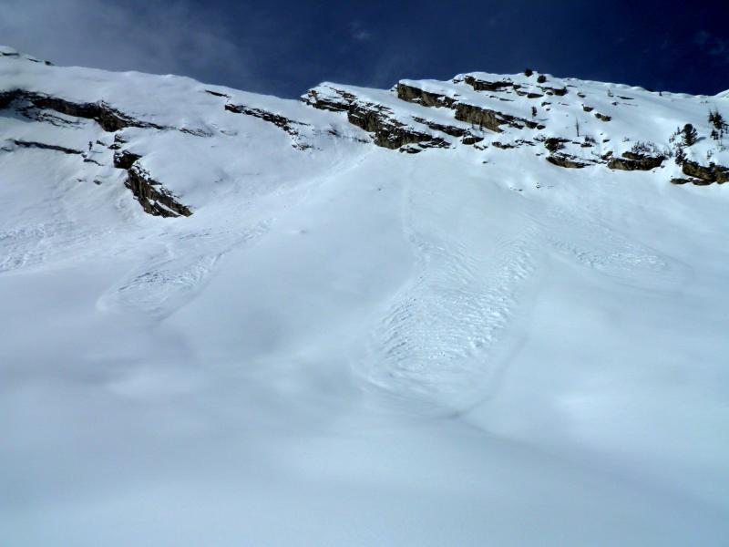
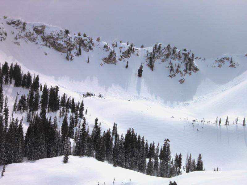
Sluffs off the rock slabs above Ivory.
Pocket remotely triggered from explosive work in East Hellgate.
Skier triggered sluffs in the Hall Way.
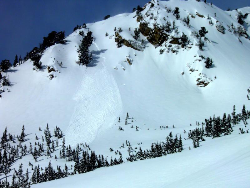
North facing Cardiff Headwall sluffs.
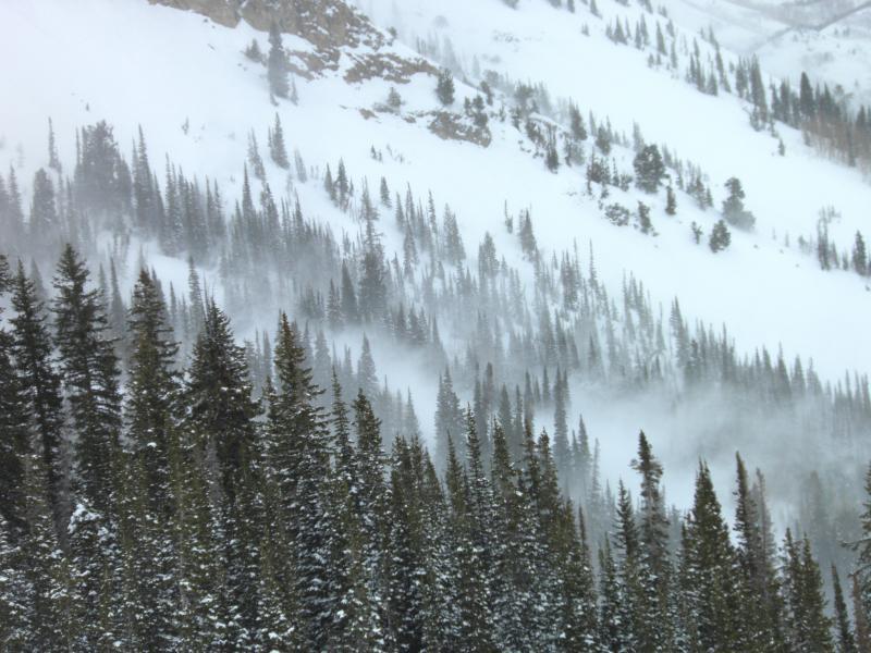
Strong winds getting into lower elevation terrain below Kestler.
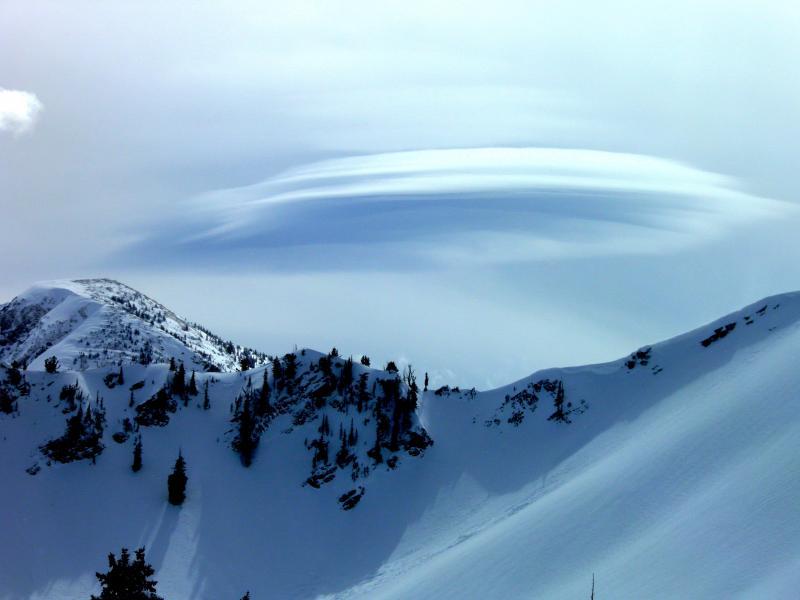
Funky wind cloud.
The weak layer in the snow pack was the density inversion today, would expect larger and more dangerous avalanches with continued wind and more snow. Any new avalanches are likely to step down to the old hard bed surface which existed in most of the terrain covered today.


