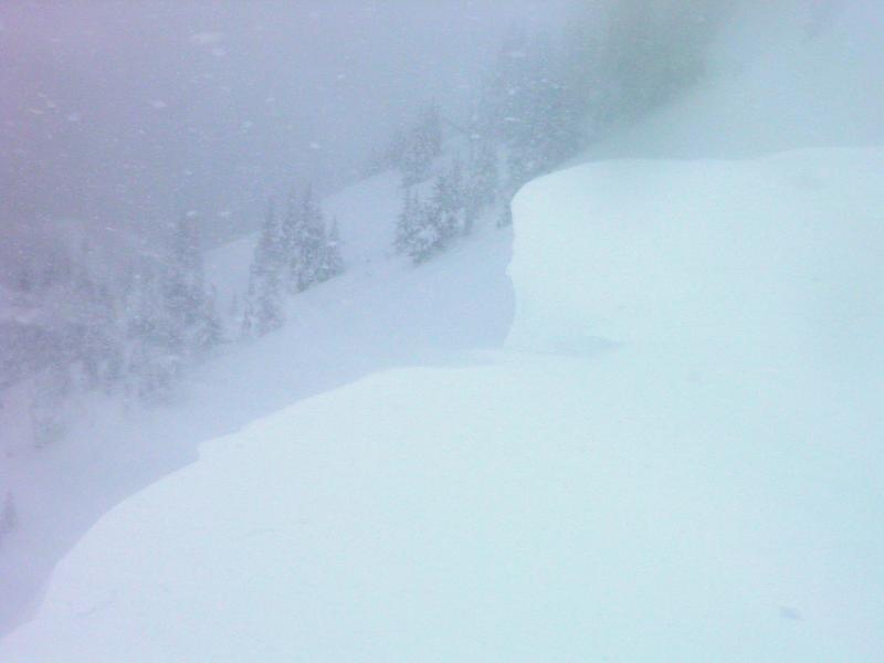
Did not experience any collapsing today, but did not get into terrain with a slab on facets, cracking was common place on the ridge line. Dense wind slabs forming on wind affected terrain and also on the lee side of the ridge line where the new snow was being loaded onto the North end of the compass. Cornices are growing large and natural cornice drops were common, they were also breaking back to the ridge line, gave them a wide birth for safety reasons, too large and dense to mess with. Saw one fairly large slide in Scotts and would assume there was a natural avalanche cycle in progress during the day with natural cornice falls as the triggers. Was going to try to make it to No Name but the storm was so intense on the ridge line that it made me bail out on that plan. At this point I would think that many of these slides are breaking down into old faceted weak layers, with the amount of weight they are receiving. Photos.
Cornices building on the ridge line
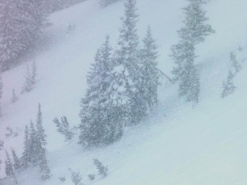
Blowing and snowing full on ground blizzard when I was trying to get a photo of the slide in Scotts
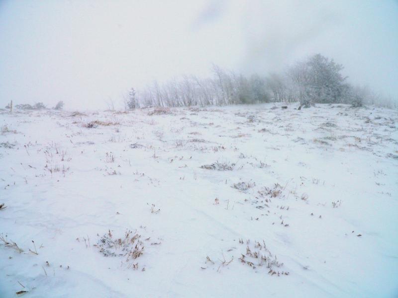
SW facing ridge line completely scoured of snow by the strong winds.
All the red flags are there for a large avalanche cycle, plus the weight and density of the storm slab is increasing through out the storm. I would go with high if things continue this pattern over night.


