
Observation Date
2/1/2014
Observer Name
mark white
Region
Salt Lake
Location Name or Route
Mill D, Butler Fork
Comments
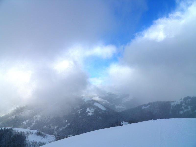
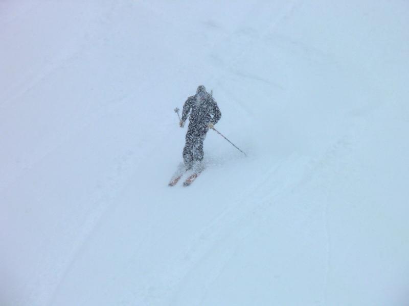
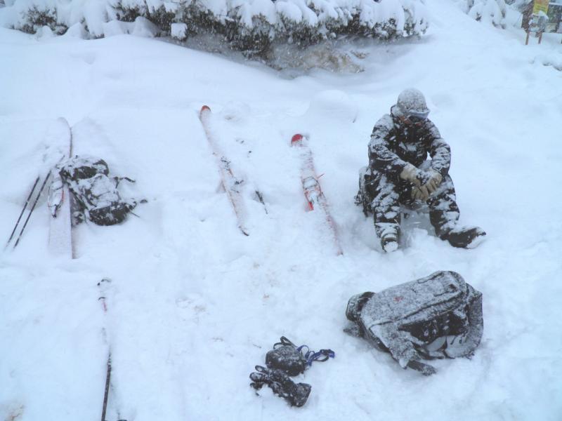
Skied Reynolds NE face and the Nipple in Butler Fork, no instabilities noted except for surface sluffing in steeper terrain. The new snow was adding very little weight to the snow pack and improving the skiing as the day progressed. Pretty intense snow fall around 3:00pm, snowed about 2 inches in 40 minutes. Was feeling the bottom while skiing Reynolds face but later on the Nipple with the new snow and skiing a bit lower angle terrain the bottom was not felt. Crazy weather, from blue holes and sun to socked in and intense snowfall in a matter of minutes. Photos.
Sucker holes and visibility in the AM
Dumping in the afternoon
Waiting for our ride at Butler Fork for 20 minutes snow piling up while waiting.
Today's Observed Danger Rating
Moderate
Tomorrows Estimated Danger Rating
Moderate


