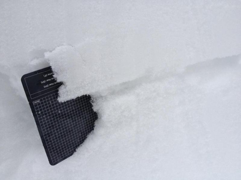
We practice our snow profile work today at 8800ft on an ENE aspect in the Snowbasin backcountry. The average HS was between 115-140cm. The snowpack consistent of new 4" 4F storm snow laying on top of a 4F stiffing to 1F slab for the upper 60-70cm of the snowpack. Below that 1F slab is a 3-5mm crust with pronounced facets above and below the crust (larger and more consistent facets on the bottom of the crust). The lower pack consistent of a mixture of rounded and faceted grains. At 20cm above the ground 3mm (Fist) angled facets where the common theme.
We did several tests in our snow profiles. All test failed just below the 3-5mm crust (60-70cm below the surface).
CT 14, CT 21, CT 18. All failures Sudden Collapse shear quality
ECTP 21 SC, ECTP 23 SC, ECTP 26. All failures Sudden Collapse shear quality
PST 10/100 (End,) PST 20/100 (End), PST 25/100/ (End) All failures Sudden Collapse shear quality
Overall we found a stiffer slab and more distinct identifiable weak layer in the Snowbasin Backcountry then our previous observations in the Mill D North (BCC) and Lower No-Name Bowl ridge (PC area)