Observation Date
1/6/2014
Observer Name
Hardesty and Wilson
Region
Provo » Box Elder
Location Name or Route
Tibble Fork to Deer Creek to Box Elder
Weather
Sky
Clear
Wind Direction
Northwest
Wind Speed
Moderate
Weather Comments
Beautiful day, warmer temps than yesterday, moderate northwesterly winds that died down when they needed to. Bumped into Trent Meisenheimer and Rick Hoffman and enjoyed some of the skin track with them. Good company.
Snow Characteristics
Snow Surface Conditions
Dense Loose
Faceted Loose
Wind Crust
Melt-Freeze Crust
Snow Characteristics Comments

Winds have had their way with the Box Elder massif. Overall structure holds layer cake of depth hoar, decaying wind slab, facets and more of the same. HS roughly 100cm at 9500'.

Red Flags
Red Flags
Wind Loading
Poor Snowpack Structure
Red Flags Comments
Poor structure, weak snow, wind slab, but seemingly lost their appetite for reactivity.
Avalanche Problem #1
Problem
Persistent Weak Layer
Trend
Decreasing Danger
Problem #1 Comments

Bullet proof wind slab noted in the exposed terrain...with wind damage ~ 3" wind slabs noted well off the ridgelines. One might find something to pop out, but these would be the exception and not the rule. Furthermore, the wind loading has been so erratic due to the strong winds and exposure that pillows are discontinuous and even these difficult to prod.

Avalanche Problem #2
Problem
New Snow
Trend
Decreasing Danger
Problem #2 Comments

Sure there's "slab" over persistent weak layers, but it's been since the 25th since our last human triggered slide. Collapsing and cracking slowly faded away. Still some propagation noted with tests...

Old debris noted in White Canyon and in the great Northwest Cirque; likely around or just before Christmas.

Comments

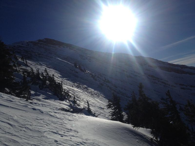
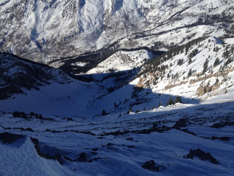
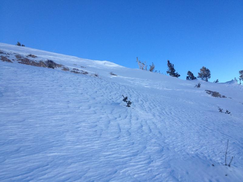
Pics of the great northwest cirque of Box Elder. Some old naturaling noted with unsupported features below..

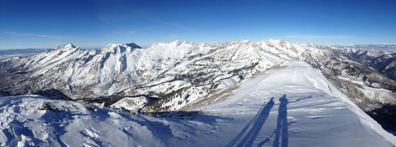
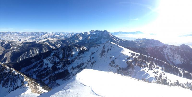
Looking north to the AF/LCC ridgeline and then south to the great north face of Timpanogos. Be good to have a few storms roll our way -

Today's Observed Danger Rating
Moderate
Tomorrows Estimated Danger Rating
Moderate