Observation Date
12/23/2013
Observer Name
C Brown
Region
Salt Lake » Park City Ridgeline » Guardsmans Pass
Location Name or Route
Gaurdsman
Weather
Sky
Overcast
Precipitation
Moderate Snowfall
Wind Direction
Northwest
Wind Speed
Moderate
Weather Comments
Windy Sun (12/22) PM, windy with some higher gusts through the night. Snow transportation occuring. Moderate snow most of the night into day. About 19 F overnight and warming to little above 20 F during Mon morning.
Snow Characteristics
New Snow Depth
5"
New Snow Density
Low
Snow Surface Conditions
Powder
Snow Characteristics Comments

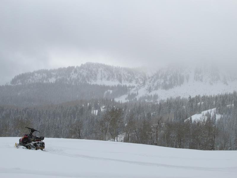
Very complex snow pack on the south facing slopes in gaurdsman. Had a couple crusts existing, 2 were 14 cm apart with F-4F facets existing between. This layer had a SC on CT6. The 2 crusts were 4cm thick. I think the first crust might be a rain crust from last week?? Also noticed a 1.2 C gradient between 14-24cm.

Red Flags
Red Flags
Recent Avalanches
Heavy Snowfall
Wind Loading
Collapsing
Poor Snowpack Structure
Avalanche Problem #1
Problem
New Snow
Trend
Decreasing Danger
Problem #1 Comments

The new snow was about 17 cm deep, fairly dense, probably a decent load on top of some of the week layers.

Avalanche Problem #2
Problem
New Snow
Trend
Increasing Danger
Problem #2 Comments

Still have to worry about the multiple rotting layers in the pack.

Snow Profile
Aspect
South
Elevation
9,200'
Slope Angle
30°
Today's Observed Danger Rating
Considerable
Tomorrows Estimated Danger Rating
Considerable