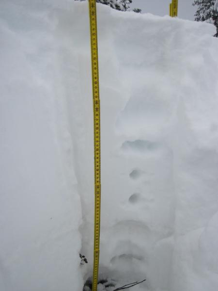
A new rime crust has formed on top of the fluff from the night of the 20th. We have also gotten a trace since the rime formed. The trace was a graupel sort or component.
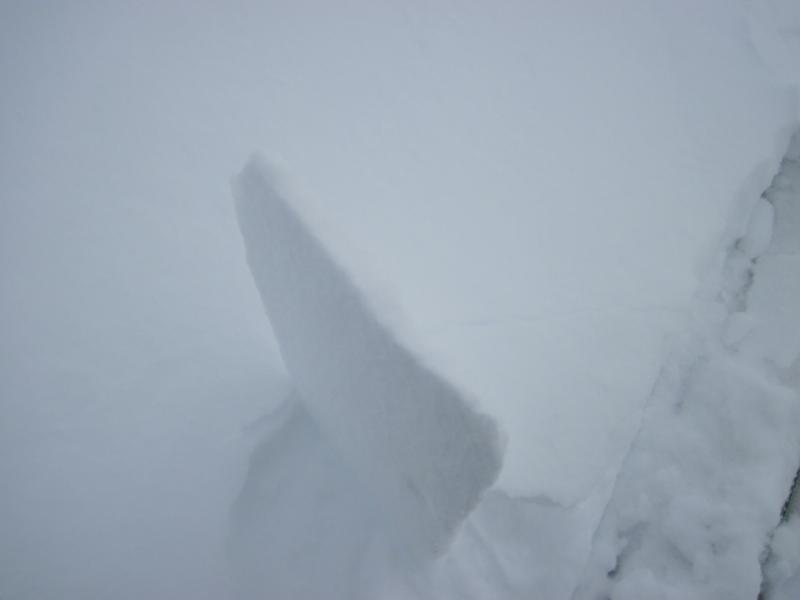
The persistent slab has changed a little the old snow is now a cohesive unit and the snow sitting on top of the pre Dec 18th snow is where the collapsing is occurring. So I guess I am trying to decide if it is a new snow problem or a persistent slab problem because we still have such a thin snow pack.
New snow because of what I said before.
Snow Profile
Rime Crust
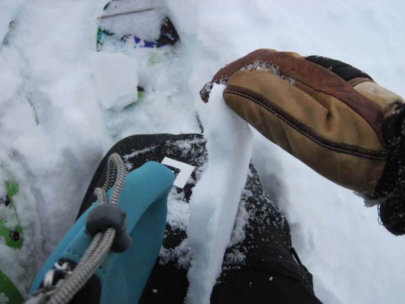
ECTP13 Q1
Read About Our History
Find an Avalanche Class
Read the forecast
Submit an Observation
View Our Calendar