Observation: Brighton Perimeter

Observation Date
12/9/2013
Observer Name
Trent Meisenheimer
Region
Salt Lake » Big Cottonwood Canyon » Brighton Perimeter
Location Name or Route
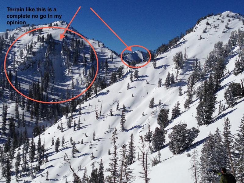
Pioneer Ridge to Green Slope
Weather
Sky
Clear
Wind Direction
Northwest
Wind Speed
Calm
Weather Comments
Nice to be in the full sunshine, actually felt warm at times. Sun was not strong enough to form any heat crust on south asp where I traveled. Stayed dry cold powder all day.
Snow Characteristics
New Snow Depth
12"
New Snow Density
Medium
Snow Surface Conditions
Powder
Dense Loose
Faceted Loose
Wind Crust
Snow Characteristics Comments

Seems like the storm just didn't have enough wind and water to create a widespread full depth avalanche cycle. Most of the natural avalanches were confined to the new storm snow and were not breaking into deeper weak layers at the ground. It looks like we are continuing to build the slab.

I believe the most suspect slopes are the upper elevation shady slopes that have recent deposits of wind drifted snow. There are lots of slopes just hanging in balance waiting for a trigger. Out of the wind zone the snow-pack lacks the slab and connectivity.

Red Flags
Red Flags
Recent Avalanches
Wind Loading
Cracking
Collapsing
Poor Snowpack Structure
Avalanche Problem #1
Problem
New Snow

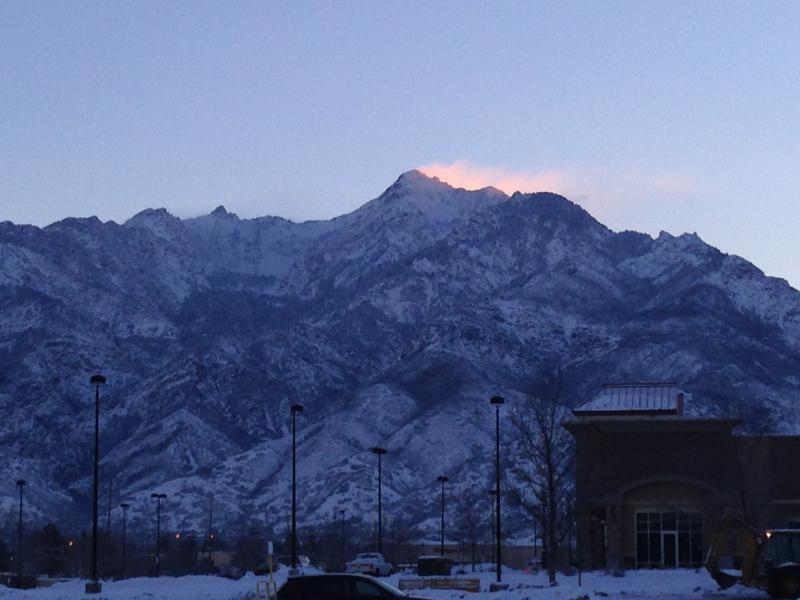
Photo taken from the Smiths parking lot at 7:30 am. North winds sublimating snow into the atmosphere. Lots of low density snow available for transport.

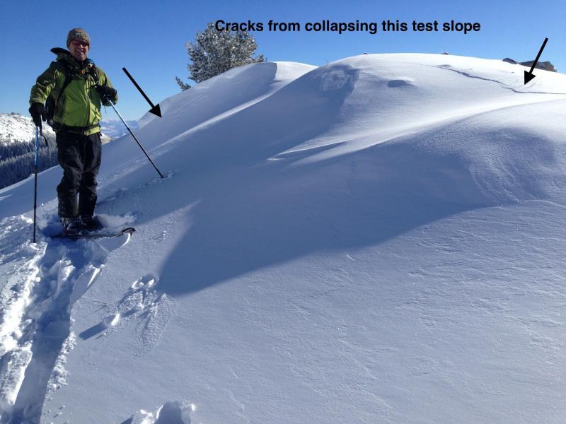
North aspects with recent deposits of wind drifted snow seemed touchy this morning. Collapsed this slope as we approached it. Lots of slopes just waiting for a trigger.

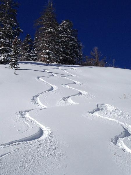
I decided to ski south facing low angle 30 degree terrain today and not only was the snow nice, but the sun felt good as well.

Today's Observed Danger Rating
Considerable
Tomorrows Estimated Danger Rating
Considerable