Observation Date
12/7/2013
Observer Name
Hardesty, Wilson, O'Connor and Merrick
Region
Salt Lake » Park City Ridgeline
Location Name or Route
South Monitor to Beartrap
Weather
Sky
Overcast
Precipitation
Light Snowfall
Wind Direction
South
Wind Speed
Moderate
Weather Comments
Precip all day added up to an inch. Cold. Southerly winds in the early am resulted in stiff soft and hard slabs in the lee.
Snow Characteristics
New Snow Depth
1"
New Snow Density
Low
Snow Surface Conditions
Powder
Wind Crust
Red Flags
Red Flags
Wind Loading
Cracking
Poor Snowpack Structure
Red Flags Comments
A couple instances of shooting cracks 40' wide along the wind loaded terrain of South Monitor.
Avalanche Problem #1
Problem
Persistent Weak Layer
Trend
Increasing Danger
Problem #1 Comments
Tuesday's storm was just enough to keep us walking on eggshells. Had it come in with wind, we would have had a good cycle. Wind and precip overnight should break the camel's back. Expect to see a fairly widespread cycle.
Avalanche Problem #2
Problem
New Snow
Trend
Increasing Danger
Problem #2 Comments
Walking from South Monitor across to West, down Will's Hill, up the West Willow ridgeline and into Beartrap yielded few areas that had a 'slab', relegated to terrain exposed to the southerly winds. (Note reports of naturals to the ground in Park City Mountain Resort periphery today - more wind effect). Photo below is snow structure representative of many sheltered areas. (Settled 6-10" of snow over gray faceted grains (noted beneath the red line) buried on Tuesday).
Comments
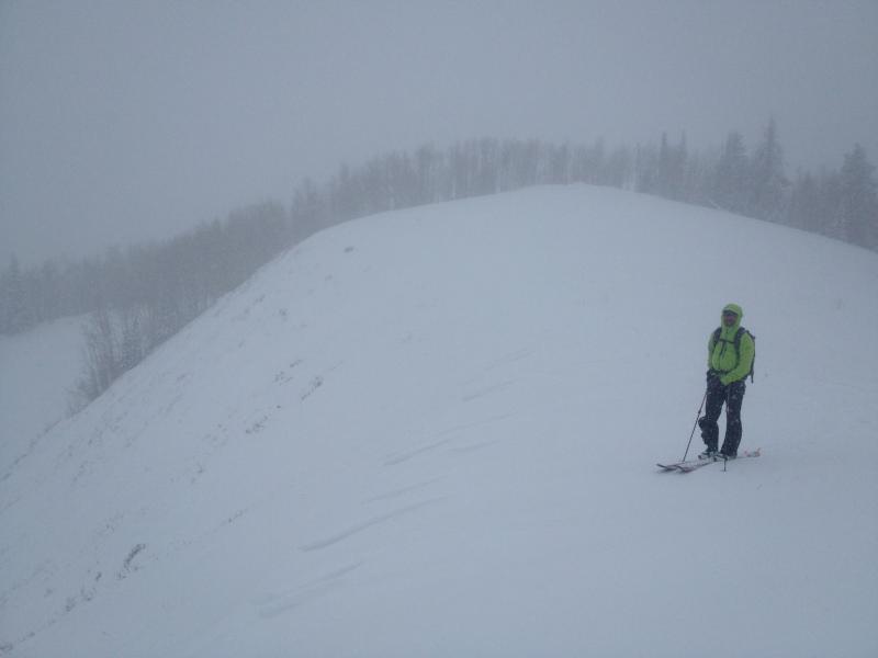
Another issue - the strong easterly wind event from Nov 22-24 eroded much of the snow from many east and north facing starting zones. Thin snow cover facets easily - these starting zones will be suspect with additional storms. Note the thin snowpack in the starting zone and the wind sculpting that denotes drifting from looker's left to looker's right.
Today's Observed Danger Rating
Considerable
Tomorrows Estimated Danger Rating
High