Observation: Wolverine

Observation Date
4/24/2013
Observer Name
Bruce Tremper
Region
Salt Lake
Location Name or Route
Wolverine and Catherine's Pass
Weather
Sky
Clear
Wind Speed
Calm
Weather Comments
Bluebird, calm day with temperatures barely above freezing. Wow. What a day.
Snow Characteristics
Snow Surface Conditions
Dense Loose
Wind Crust
Melt-Freeze Crust
Damp
Snow Characteristics Comments

Typical spring snow with sun crusted or wet snow on sun exposed slopes, wind affected snow along the ridges and soft, settled powder on the upper elevation north facing slopes. The corn on the south facing slopes is immature but the surface was supportable all day. With forecasted warmer temperatures, it will likely be breakable in the heat of the afternoon. So we should have our first corn snow cycle in the next few days.

A photo of Devil's Castle and the strong wind scouring in East Castle from the very strong winds late last week and into the weekend. All the resulting wind slabs seem to have settled out quite well.

Red Flags
Red Flags Comments
No red flags. Quite stable day.
Avalanche Problem #1
Problem
Wet Snow
Problem #1 Comments

Despite the strong sun, the wet activity was held in check today by the very cold overnight temperatures and rising to only around freezing during the day.

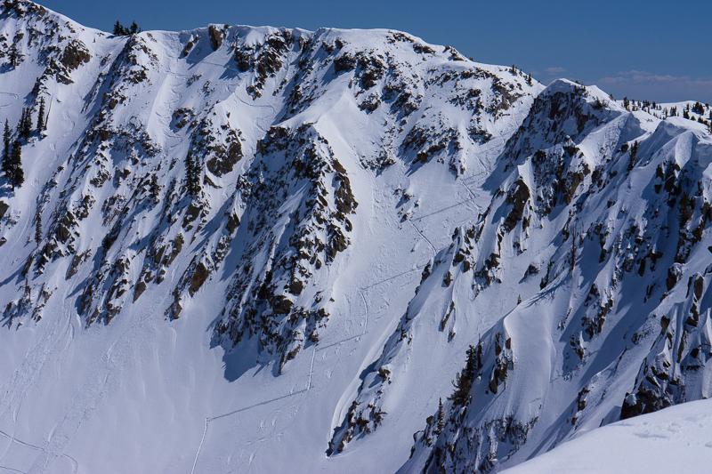
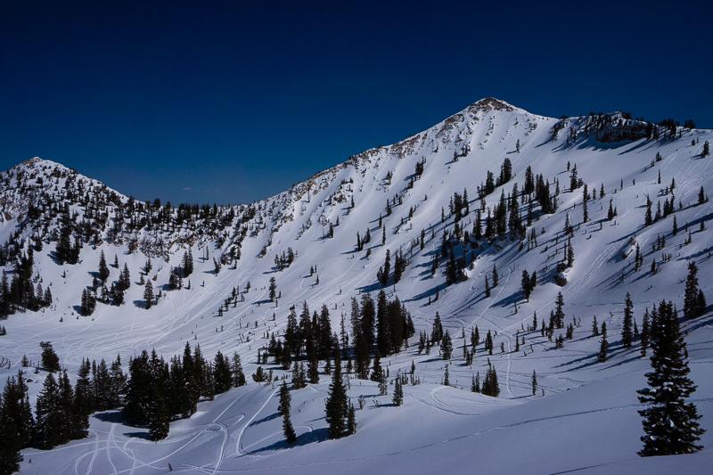
But the future is probably not so rosy. We have a couple feet of storm snow on most aspects, which is still dry on all but the south facing slopes, which are mostly isothermal except at very high elevations. The forecast is for slowly warming temperatures through the weekend and the question of the day is whether we are going to have a wet avalanche problem or not. On one hand, the skies are supposed to remain clear so, in theory, the snow should refreeze every night, even though the forecasted overnight lows will be near freezing for the next few days. Daytime highs are supposed to be near 50 on Friday, Saturday and near 55 on Sunday. This will likely create some wet activity on probably all the aspects and elevations with the exception of the steep, upper elevation, north facing slopes, which should remain cold and dry. if we get low clouds during the strong daytime sun, it may shine enough heat on the north facing slopes to affect them as well.

I'm hoping that the warming will be slow enough and the skies will remain clear enough to keep wet activity at a reasonable level. Yes, there will be sluffs and occasional slabs in the heat of the afternoon but it should be quite manageable if you get out early and get home early. Let's keep our fingers crossed.

Comments

Here's a couple photos of people getting after it in steep north through east facing terrain in recent days and they don't seem to be triggering avalanches. The upper photo is ski traffic in Wolverine Cirque and the lower photo is wall-to-wall snowmobile tracks on Sunset Peak and the meadow below.