Observation: Catherines

Observation Date
4/21/2013
Region
Salt Lake
Location Name or Route
Brighton, Catherines: Rocky Points, Sunset area
Weather
Sky
Clear
Wind Direction
Northwest
Wind Speed
Light
Weather Comments
Early morning unseasonably low temperatures in the teens and lower 20's that rose rapidly by late morning. Temperatures appeared to stay cool above 10200. Winds appeared to die down significantly by 0900. Despite this, the Light winds with minimal gusts were able to continue to transport wind blown snow on the upper eleveation exposed NW and N facing terrain, and blow in the tracks by the hour. Skies became scattered by mid day.
Snow Characteristics
New Snow Depth
1"
New Snow Density
Medium
Snow Surface Conditions
Dense Loose
Wind Crust
Melt-Freeze Crust
Damp
Snow Characteristics Comments

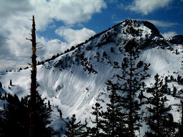
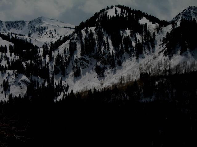
In the early morning hours there was a supportable crust on all slopes and aspects below 9700 feet. There was one inch of snow that was resting on this m/f surface that fell overnight. Above 9700 feet the new snow had settled out significantly, and or was compacted by Saturdays late afternoon and evenings sustained winds. Despite this, the riding was very good in settled/dense/consistent powder on all slopes on the upper third of the compass. This quality riding was good on steep and low angle slopes until 1200. At this point in time the lower angle slopes on all aspects and elevations became damp. When I exited at 1230 the previously mentioned supportable crusts were becoming punchy and very damp. Reports from other indicated that the snow on all slopes and aspects, besides the upper elevation north facing terrain, became heavily saturated.

Red Flags
Red Flags
Recent Avalanches
Wind Loading
Cracking
Rapid Warming
Poor Snowpack Structure
Red Flags Comments
The early morning light and good visibility helped to identify the overall significance of the avalanche cycle that occurred on Saturday. Three more slides that were not reported on Saturday were: 1.) An 80 foot wide pocket in the steep entrance to the bowl to the rider's right of the V-Tree; 2.) A 200 foot wide slide that was on the steep East facing roll on the rider's right entrance to the Tuscarora Bowl from Catherines; 3.) Almost all of the upper half of the Pioneer Main Chute area. All three of these slides had some kind of human trigger factor involved, and all were Soft Slabs that appeared to have a wind loading component. Slides from Sunday were as follows: 1.) South facing terrain in the Highway to Heaven, Wet Loose, see photo; 2.) North and Northeast facing terrain above the Solbright Trail/Silver Lake, Wet Loose; 3.)The Tuscarora Main Chute (Seagull/3 Chute), this was already reported, yet of note: this slide appeared to be initially started in a slab in the upper third of the Chute and when it broke into the lower Bowl it fractured again. This slide mimiced much of the activity from Saturday. Obviously there was much more Wet Actiivty in the mid to late afternoon on Sunday. Minimal cracking was observed early in the morning on South facing terrain in Dry Fork. The Very Easy Shears that were observed on Saturday just above the old snow interface appeared to have settled out as is typical by early on Sunday morning. This suspect weak layer was yielding Moderate shears in all tests. At 9900 feet on a NW facing 38 degree slope an RB5, Q2 SP was observed. At 10250 on a NW facing 40 degree slope a CT21, Q2, SP was observed. Of note, the second cited pit was in the upper starting zones of Sunset and there was Poor Snowpack Structure at this cite with .5 mm facets resting on top of the old snow interface. The cited shear here was in the same identifed weak layer of Light density Snow, combined with the facets. Also of note here was a 5 cm wind slab that was sandwiching this weak layer with the old snow interface. There was 30 cm of total new load on top of the old snow interface in this location, and it appears that any possible significant additional load on this weak structure may produce another round of propagation and or collapse failure.
Avalanche Problem #1
Problem
Wet Snow
Trend
Decreasing Danger
Problem #1 Comments

Widespread Wet activity of Loose Snow and Slab avalanches appeared to be occurring all over the Range with day time heating on Sunday. See photos. Most likely, there may not be as much activity on Monday.

Avalanche Problem #2
Problem
Persistent Weak Layer
Trend
Same
Problem #2 Comments

New snow wind slabs of the Soft Slab variety appeared to be a player again today, yet they were much less active on Sunday than they were on Saturday. Due to the previously cited weak snow pack structure that appears to exist in the upper elevation Northerly facing terrain, any new wind loading may present problems with slides of up to and greater than 30 cm deep. It appears that this isolated hazard only exists above 10000 feet, and I have only observed it above 10200.

South facing Highway to Heaven

North and Northeast facing terrain above the Solbright and Silver Lake area.