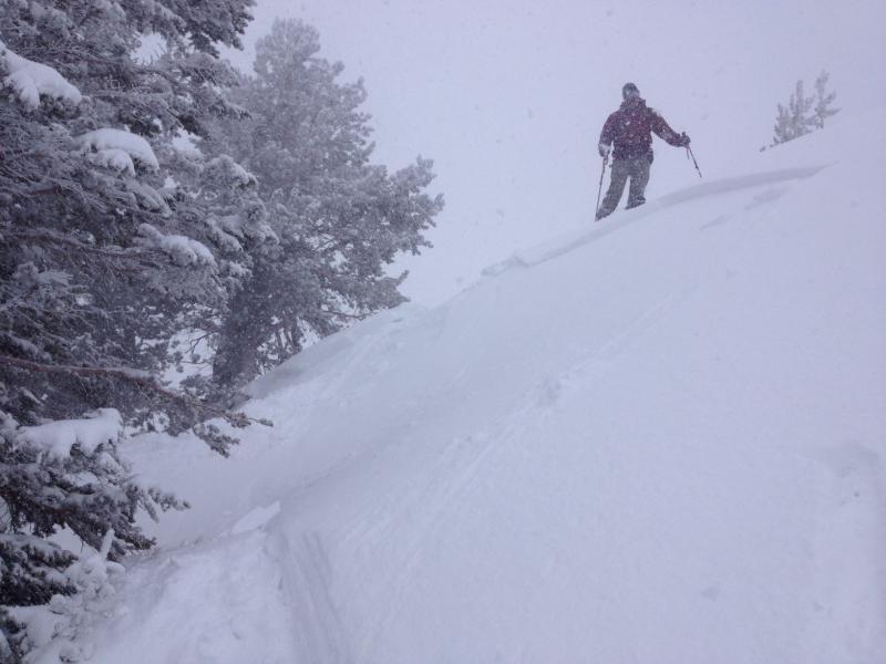
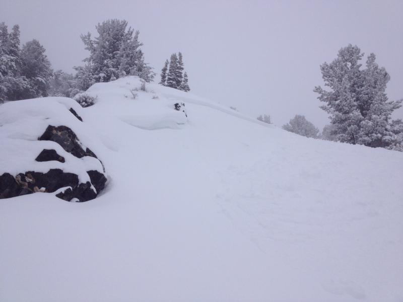
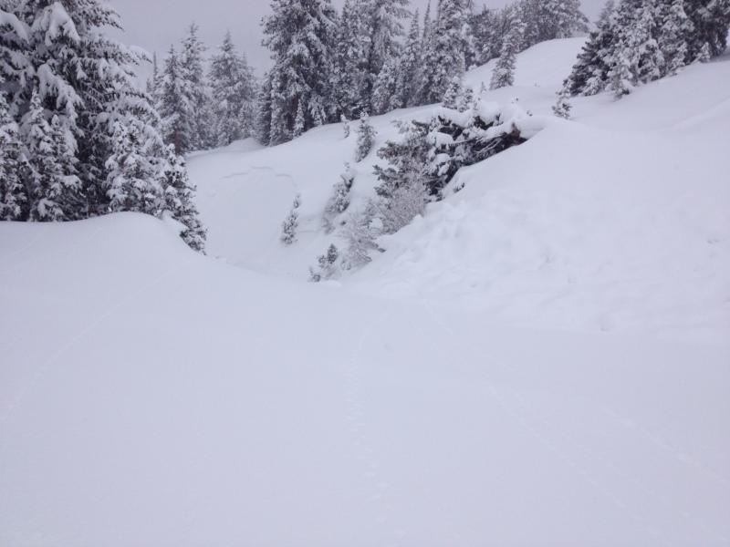
Found similar conditions to others in the area (and exactly what was forecast), with small soft slabs, approximately 6-8 inches deep coming out in wind drifted terrain. With winds predominately from the NW, was finding these slabs mainly just on S facing. Included both skier triggered and naturals. However, those pockets we did get to pull out were much smaller than others reported in the Twin Lakes Pass and Catherine Pass areas, due to less wind where we were and perhaps an early start time. Contrary to others, I found the snow to be well behaved on N facing in Silver Fork. Feel like this is mostly due to the lack of loading on that aspect where we were. Also, could be that if any facets did form on north facing in the area (great observation Greg - I agree too late in the year to have to think about facets - but wouldn't seem out of the question due to the very cold temps earlier this week), they could have been destroyed by wind in Silver Fork.
With continued winds would expect more of the same overnight, with the size of anything tomorrow probably being a bit bigger and more hazardous, particularly in unforgiving terrain. Also, would expect the normal round of wet slides on sunny slopes as they warm up. Still finding a pretty dry winter-like snowpack on upper elevation N facing. Looking ahead, I think that with the gradual warm up next week, these slopes shouldn't fall apart too bad.