Observation Date
4/12/2013
Observer Name
Darce Trotter/ Steve Cote
Region
Skyline
Location Name or Route
Seely Canyon, Wasatch Plateau
Weather
Sky
Clear
Wind Direction
West
Wind Speed
Light
Weather Comments
colder morning than we thought it would be, temps did not warm that much before noon, and in the shade, things stayed cool.
Snow Characteristics
New Snow Depth
4"
New Snow Density
Medium
Snow Surface Conditions
Powder
Snow Characteristics Comments
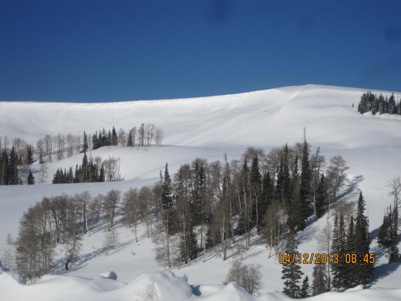
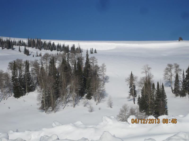
Sun came out late yesterday so snow at high elevation was not cooked down, if fact, we were pleasantly surprised that despite some wind damage, no crusts had formed overnight (> 9500') in new snow from yesterday, that encouraged us to investigate N facing more sheltered slopes. < 9500' double crust was everywhere and our first thought was to seek out south facing for early morning corn.
Red Flags
Red Flags
Wind Loading
Rapid Warming
Red Flags Comments
Summit ridges had new cornices formed, some failing naturally along Wedding Ring Ridge, one area had triggered wind slab farily wide from cornice fall
Avalanche Problem #1
Problem
Wet Snow
Trend
Same
Problem #1 Comments
Upper elevation snow not yet warmed to critical levels, but will occur today, high angle April sun on E/S/W was turning snow to mank on our exit at 1:00 PM
Avalanche Problem #2
Problem
Cornice
Trend
Decreasing Danger
Problem #2 Comments
newly formed cornices, while not huge, we get tender with heating
Snow Profile
Aspect
Northwest
Elevation
10,500'
Slope Angle
34°
Comments
Wedding Ring Cornice Fall
Cornice fall/wind slab Wedding Ring Ridge
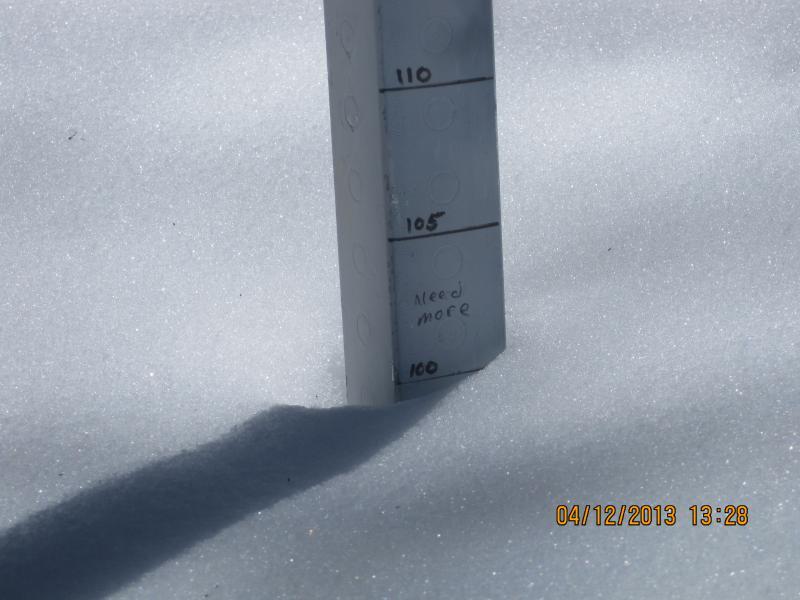
Total Stake Miller Flat Trailhead, total of 10cm at this elevation in the last two storms, we felt it had probably rained to start at this elevation first of week storm
short video of snow pack and our decision process today
Coordinates


