Wandered around upper LCC with very poor visibility. New snow was dense and bonded well to underlying snow surface (which on all but due North aspects was sun crusted.) There were some fresh wind deposits, but they wouldn't break out very far from my skis - at most about a meter (~3') and they were shallow (< 30 cms). The wind slabs from the Tuesday wind event are not sensitive at all. The dense new snow was difficult to even get to sluff, although I was able to get some wet rollerballs on a steeper southerly aspect that warmed despite the obscured sun. Overall mostly Low hazard, with a Moderate hazard in steeper wind-affected terrain or on steeper solar aspects.
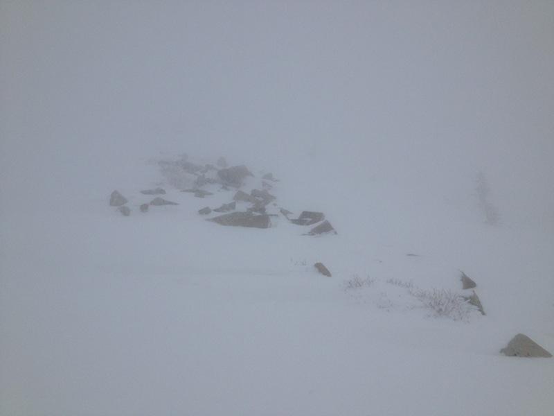
This anti-Mark White photo highlights one of the better periods of visibility this morning.
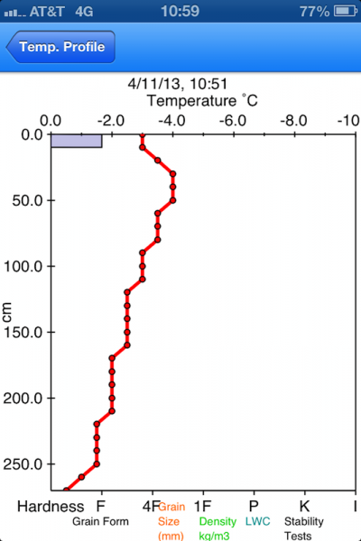
This falls under the "small things amaze small minds" category: During a period of very poor visibility, I decided to dig a pit on a North aspect at 10000' to see how the upper elevation north-facing aspects look. For the past month or so I have been noticing the upper elevation North aspects still harbor a late winter snowpack with no signs of free water movement apart from some damp snow near the surface and a few melt-freeze crusts. HS was 270 cms, which was mostly a stout 1F slab.
More importantly, in the upper 2 meters of snow I was not noticing any crusts or interfaces between different grain sizes which would form a capillary barrier which would make it difficult for water to flow down through the snowpack.
I have never taken a full temperature profile so late in the season, so was curious just what such a profile would appear as. The following is an iPhone screenshot using AvyLab software.