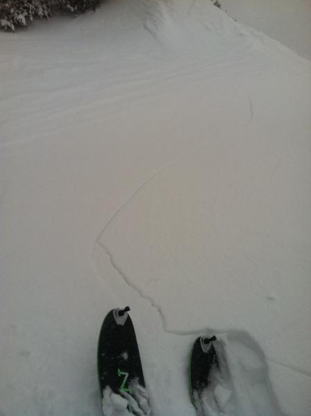
Norths skied well and consistently. But even where there was less wind effect there were at least 2 noticeable weak interfaces in the snow from the last few days. What was previously our M/F snow last week is now a substantial breakable crust (not frozen underneath). Shelterd 9.5k' N aspect upper LCC had ~16" of "new" snow on top of the crust. with the most notable sheer planes just above the crust and about 8" down from the surface. We didn't see any movement or red flags on these planes, but it didn't seem out of the question.
Souths very quite a bit more wind loaded with deeper "new" snow and several weak layers ready to pop. We got substantial cracking (up to 60') and some avalanching (running 100' vertical on low 30's terrain) on these aspects. The most sensitive layers were within the upper 10" but there were some other layers deeper down that seemed like could easily step down to. We didn't push into big or steep terrain on these aspects but I expect it wouldn't have taken much to make things go big.
I didn't inspect closely below the M/F crust. I thought that it seemed unlikely to trigger anything below that point.