Rock shoes & bike will have to wait for this diehard ......
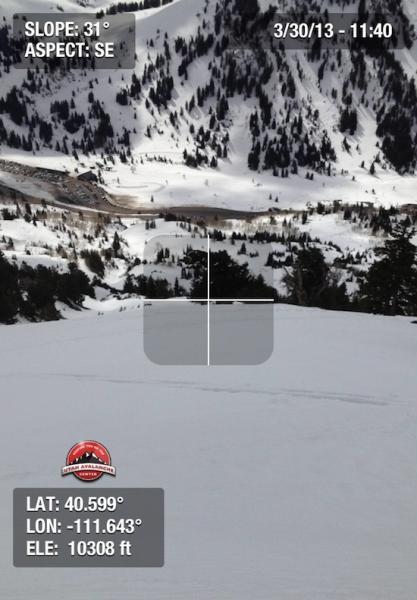
Began from trailhead at 0830. Route was up Flagstaff, down into Days Fork, E-facing Main Days, back out Emma's to Alta. Was surprised to find still find dry, dense snow skiing N-facing Days Fork, although this aspect was damp when exiting late morning. Looking at weather stations at Alta from overnight and it appears temps from the base to the top of Collins all dipped below 0C by about 2200. Combined with clear skies, the snow surface had a solid refreeze. East facing was beginning to soften by about 0930, and we were finding the SW aspects soft, but supportable, skiing out at noon. (First video showing supportable E/SE aspects.)
Snow surface is littered with old ski tracks and about a million rollerballs that makes for less-than-aesthetic conditions, but cream-like corn conditions were still available this morning.
Am still interested to see what upper elevation north aspects look like and I was still finding dry snow down about 15 cms (6") from the snow surface. (Second video showing upper snowpack structure.) The top 15 cms were damp, well-bonded grains that apparently had undergone the right amount of warming so that the bonds strengthened. For the time being, it appears North-facing upper elevation (and possibly mid elevations as well) will avoid a wet cycle.
Overall Low danger in the morning with a Moderate hazard on solar aspects when we were skiing out at 1130.
This video shows the structure in the upper snowpack on upper elevation north aspects.
Am loving the new iPhone app! Thanks to Garafa LLC as well as backcountry.com for supporting this.