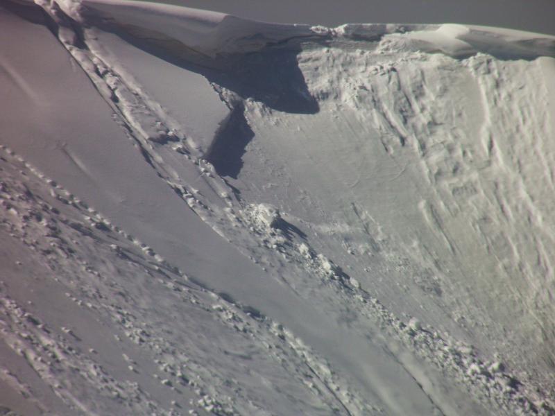
Went to the Monitor today for a change of pace, storm totals seemed to be in the 15 to 16 inch range, denser snow at the bottom, light density on top. Still a few new shallow wind slabs could be coaxed out on the upper ridge line, but they were easily mitigated with ski cuts or cornice drops. I would assume that the hazard should remain fairly low until the heat is turned on, which might be in a couple days.
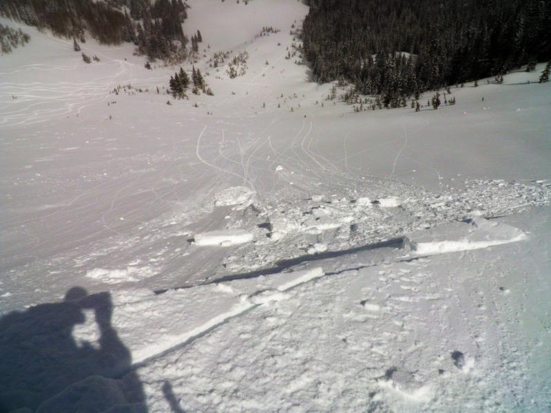
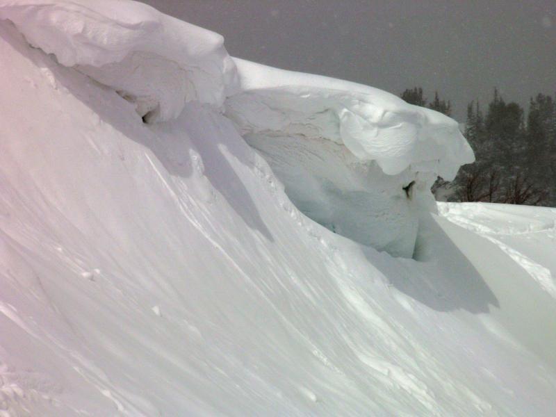
Photos: I came upon a soft slab apparently triggered by a skier-initiated cornice drop in West Monitor, shallow soft slab in South Monitor initiated with a ski cut, Large overhanging cornice that you might want to avoid when it heats up. Forecaster note: Another party contacted us to say that he kicked a cornice today and triggered this slab. He texted a photo but this photo taken by Mark is more clear.