Check Out Our Holiday Auction!

Observation: Weber Canyon

Observation Date
3/23/2013
Observer Name
jg
Region
Uintas
Location Name or Route
Weber Canyon
Weather
Sky
Broken
Precipitation
Light Snowfall
Wind Direction
Northwest
Wind Speed
Light
Weather Comments
Mostly cloudy but the sun came out now and then throughout the day but not enough to significantly affect the snow on the north half of the compass. Periods of light snow but no accumulation to speak of. The wind was not moving snow in the area traveled. Temps in the mid teems at 10,000 ft.
Snow Characteristics
New Snow Depth
2"
New Snow Density
Low
Snow Surface Conditions
Powder
Snow Characteristics Comments

Maybe an inch or two of new snow overnight. About 12"-16" of new storm snow. Fast riding on a supportable base.

Red Flags
Red Flags
Recent Avalanches
Wind Loading
Red Flags Comments
The snow was not as sensitive today but kept in mind the winds with this storm system. Just noted new snow sluffs as far as avalanches from this storm cycle.
Comments
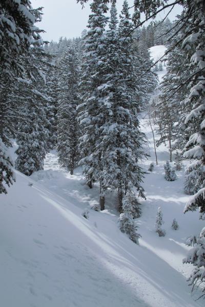
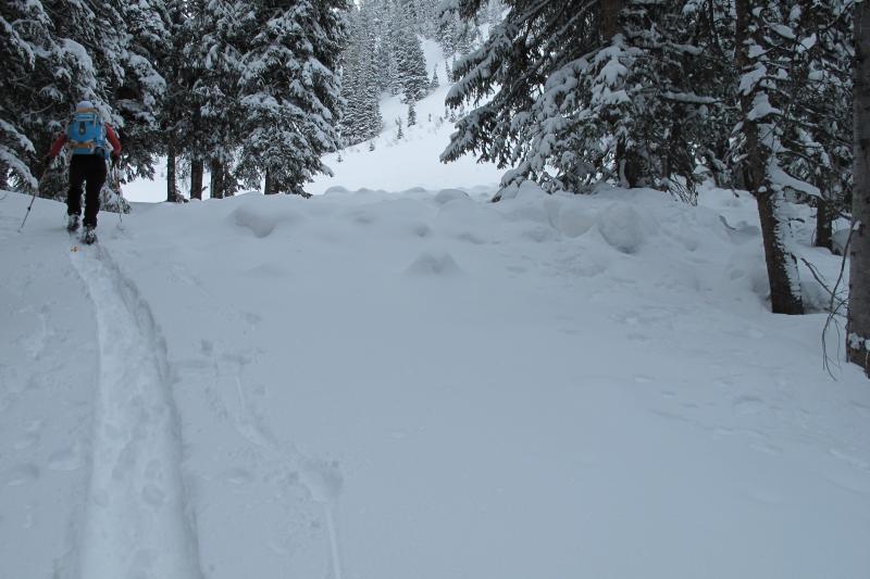
  • Traveled from 7400-10,200 ft., north thru north east aspects, slope angles to 40 degrees.
  • Sluffing on steep slopes but not running far or entraining much snow.
  • Last week's warm up helped weld together the snowpack. Overall avalanche danger should trend toward decreasing but sun/heat and/or more wind will increase danger.
  • Photo below: must have occurred sometime yesterday.

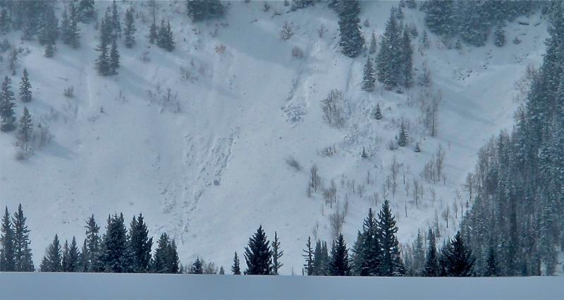
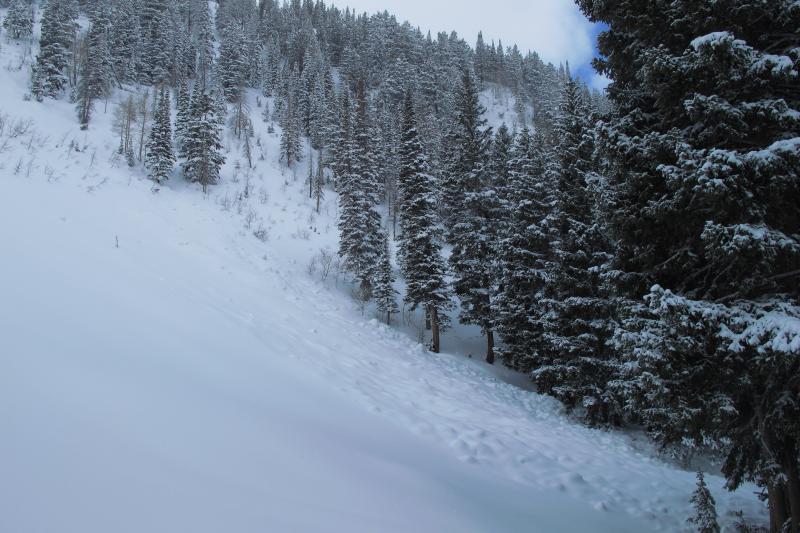
We came across a half dozen old wet slides from last week's warm-up. They occurred on steep NE facing slopes with starting zones from just under 9000 ft to almost 10,000 ft. A few pics of the debris piles and crown of one.