Observation: Park City Ridgeline

Observation Date
1/30/2013
Observer Name
mark white
Region
Salt Lake
Location Name or Route
PC Ridgeline
Weather
Sky
Obscured
Precipitation
Light Snowfall
Wind Direction
Northwest
Wind Speed
Strong
Weather Comments
Got my arse handed to me today by the brutal weather on the PC Ridgeline, strong W-NW winds getting way down into the drainnage bottoms of Willow and USA Bowl and loading large amounts of snow into the Monitors. Wind seemed to increase as the day went on. Full on ground blizzard on the top of West Monitor at the end of the day finally sent me packing.
Snow Characteristics
New Snow Depth
2"
New Snow Density
High
Snow Surface Conditions
Powder
Dense Loose
Rain-Rime Crust
Snow Characteristics Comments

Hard to tell how much graupel and snow fell during the day because of the strong winds, but thinking around 2". Snow was already inverted when I arrive this morning and got quite a bit more inverted during the day. Some places were only 4 inches deep and about ten steps away you could be in a waist deep drift, with light density snow at the bottom and a fairly thick dense wind slab on top. Oh yeah the cherry on top had to be the rimming that took place most of the day.

FORECASTER COMMENTS: Uh, that pretty much says it although I would have had to put it into slightly different words. ;) Major change today. Thanks Mark. Kobernik

Red Flags
Red Flags
Recent Avalanches
Wind Loading
Cracking
Collapsing
Poor Snowpack Structure
Comments

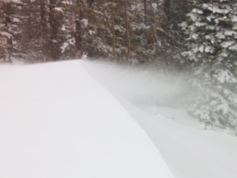
Wanted to take a look into the Monitors to see what the new snow and wind loading were doing, not much visibility in either bowl, but did have enough light at one point to see a crown on the skiers left side entry into West Monitor looked like a wind loaded soft slab that released with a natural cornice drop, visibility was not good enough to get dimensions but by the looks of the crown looked like new snow only, couldn't see far enough into the bowl to see if it stepped down into older snow or how far it ran. From noting how dense wind slabs were building on top of the light density snow from yesterdays storm seems pretty logical that natural activity was on the rise today. Cracking in the new drifts was widespread.

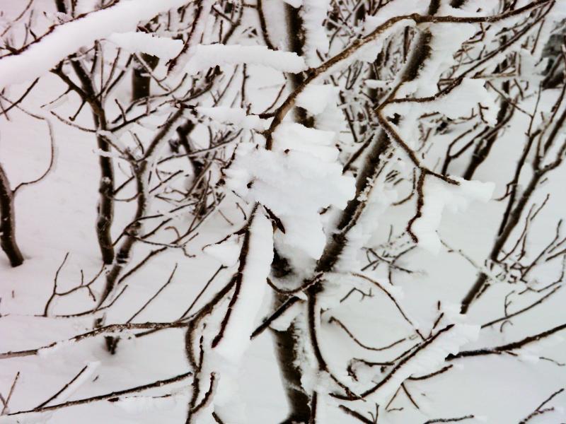
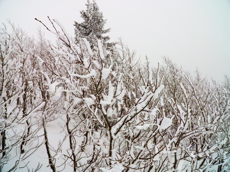
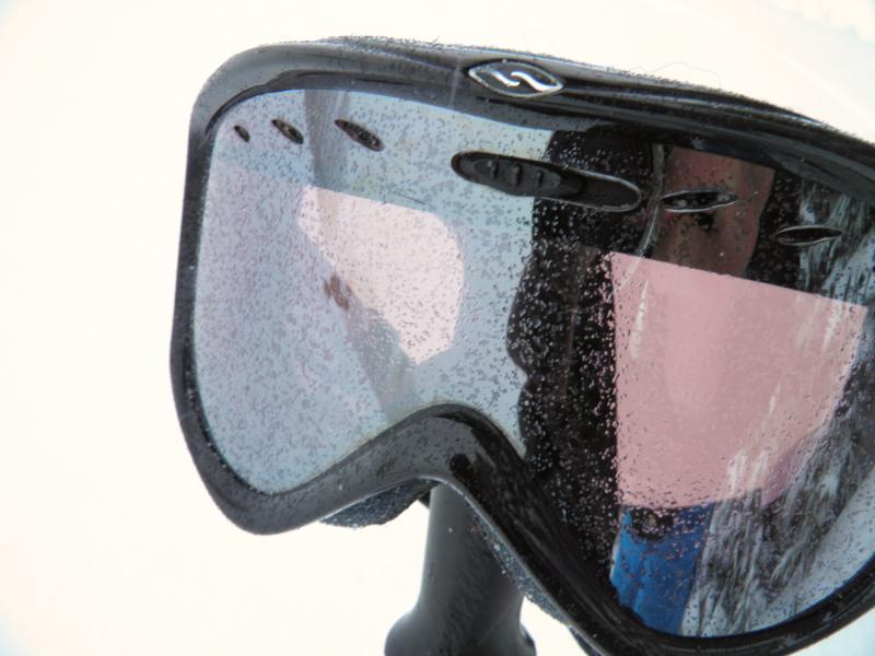
Rimming seemed to decrease in the afternoon, and graupel seemed to increase. Pics rime on the aspens on the top of West Monitor, rime frozen solid on my goggles same location.

Main attraction today, wind about half way up Willow, about twice as strong on top of West Monitor. I would think that a little patience and settlement, would decrease the hazard.