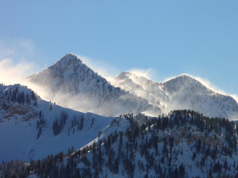
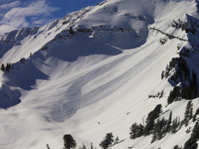
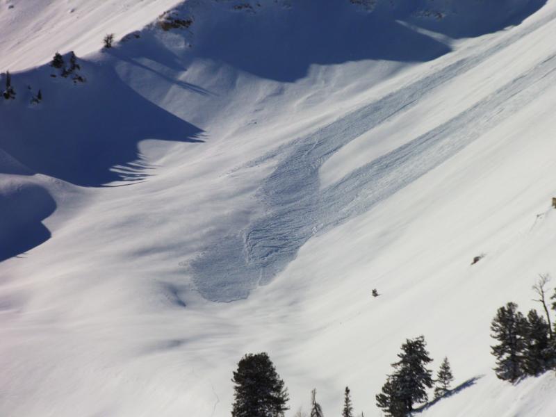
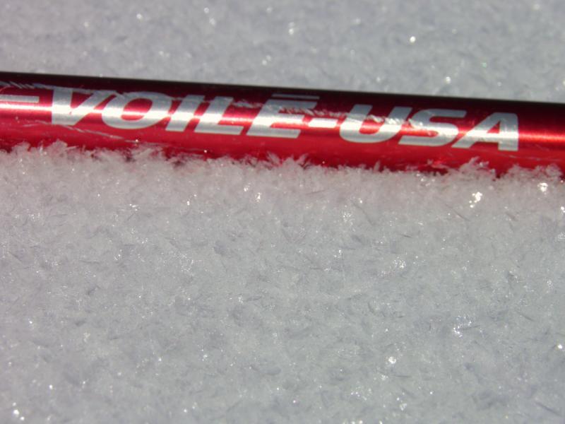
Pics courtesy Mark White. Strong high elevation North winds in the morning, only natural new slide noted from the last storm cycle. Surface Hoar development on all aspects and elevations.
This is somewhat of a follow-up on my talk that I presented at Black Diamond last week about how to approach big terrain when a persistent weak layer is present. Bare with me and you may see my method of madness. If you don't want to read all this, skip to BOTTOM LINE below.
The Provo area mountains have a lot of snowpack similarities to the Cottonwoods and Mill Creek areas. There are both areas with a very deep and stable snowpack and areas with a thin weaker snowpack. I followed a period of 'near surface faceting' that occurred from around December 28 to January 9. Many other people noted the weakening of the snow surface during this period and it's fairly well documented. However, there was a warming trend toward the end of the period that I speculated would help us in halting the faceting or even reverting some of the grains. I noted this in both temperature trends within the upper layers of the snowpack as well as manual observations of the grains under a scope as well as how "loose" they felt under foot. During the warm up, there was a notable decrease in "facet-lanches" or facets that were producing loose snow avalanches when disturbed. However, the facets did remain and a new storm rolled in and covered them up. So, I haven't been to Provo since before the recent storm and today it was time to do some detective work and find out how the buried facets would react to being buried with some new snow.
Bill Nalli is a UDOT avalanche forecaster for Provo Canyon and one of my preferred partners for this area since much of the terrain we look at has direct implications for a number of his large avalanche paths that threaten the highway in Provo Canyon. Bill keeps very close track of any weak layers that form. Bill and I headed out for a field day and decided to invite Mark White, who is one of our top observers in the Central Wasatch, for his unbiased opinion of the snowpack in Provo.
Knowing that we had a layer of buried near surface facets, we did not go and jump right into our favorite north facing terrain. Why would we if we don't know how it's going to react to the recent storm? We decided to ascend a southerly facing slope that didn't contain any buried monkey business. HOWEVER, THERE WERE CONCERNS ON THE SOUTHERLY SLOPES!!! 1) it was obvious that the plumes coming off the high ridges would be forming fresh slabs. 2) with the warming, we would have to keep an eye on the southerly facing snow surface it it started to heat up more rapidly than we anticipated. We chose an area that was just under the higher elevations where the winds were not drifting snow and the sun ended up not heating the new snow enough to make it dangerous.
Now that we had our southerly facing ascent route assessed for stability, we wanted to start looking at the bigger concern; the possibility of a persistent weakness of now buried near surface facets. As we ascended a southeast facing ridge, we would poke around to the east and northeast side of it where there is some buried facets with new snow on top of them. For the most part, what we found was some moderately weak facets with about 8" of new snow on top that was slightly wind affected. We decided that the 8" of new snow was not enough to make the moderately weak facets collapse and produce a slab avalanche. We found no cracking or collapsing as we ascended the 2500' ridge. We skied down an east facing slope into the 8000' foot elevation. This put us into some east northeast terrain that had a very thin snowpack and an area that had more pronounced buried near surface facets. However, it was still lacking a significant load to currently produce avalanches. That said, we all noted that we would not venture into this terrain if the new snow had been much deeper.
So, now we were getting an idea of what the buried facets were like. We were finding 8 to 12" of new snow on top of them which was not making them reactive to our traveling. Now we wanted to asses how they were behaving on the northerly aspects. Knowing that the deeper snowpack areas in the higher elevations had less pronounced near surface facets, we were hopeful that we could prove this and get into some steep terrain.
We were able to find a couple of areas on the north facing terrain that we could look at before committing to anything that could be dangerous in the wrong conditions. The trick here was you had do descend enough to get out of the wind slabs that had formed just below the ridge from the southerly winds. The wind boards were plastered in place but we wanted to see what things were like below where there were just loose buried near surface facets under the new snow. With some careful maneuvering we were able to find what we were thinking we would find; semi-weak buried near surface facets without enough of a new load to produce a slab avalanche. Perfect. It took some work but we were able to feel confident that we weren't going to trigger a slab avalanche. Had there been twice as much snow we may have had quite a different experience.
BOTTOM LINE: The amount of drifting that occurred today onto the southerly slopes demands respect for the next couple of days. The Provo area mountains have some areas with a deep and stable snowpack and only moderately weak near surface facets that are not reactive with the 8 to 12" of new snow that buried them. The thinner snowpack areas especially between around 6000 and 8000 feet in elevation harbor the weakest buried facets but there is not enough of a load on top of them to cause problems currently. These are areas of concern with upcoming storms whenever that is. The current snow surface should weaken over the upcoming high pressure and will most likely be our next weakest layer once it's buried.


