
Observation Date
12/22/2012
Observer Name
Eric and Amy Flygare
Region
Logan
Location Name or Route
Cornice Ridge/Naomi Peak
Comments
Here is some additional observations
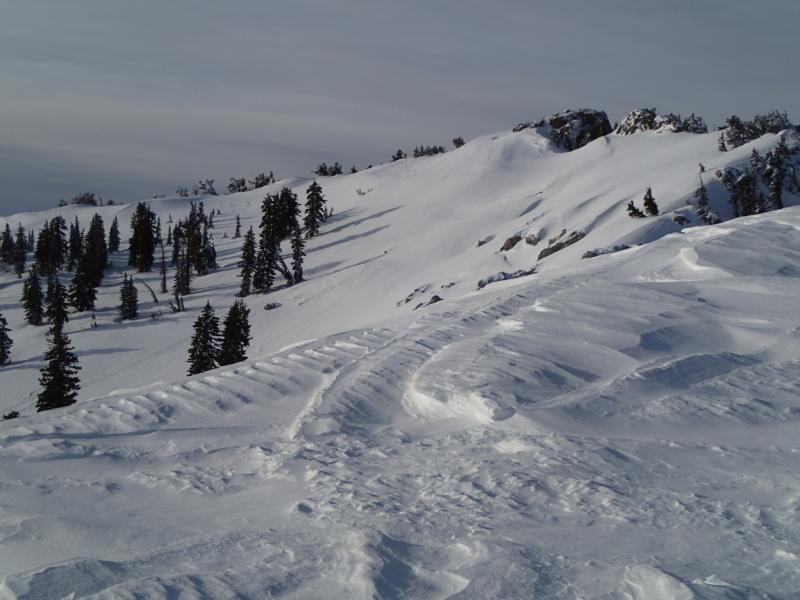
The first picture shows a very recent slide on Castle Rock. It looked like it occured shortly before we observed it at 9:00 AM on Saturday morning. The crown was about 30 feet wide and ran several hundred vertical feet. It appears the windloading finally overloaded the weak layer.
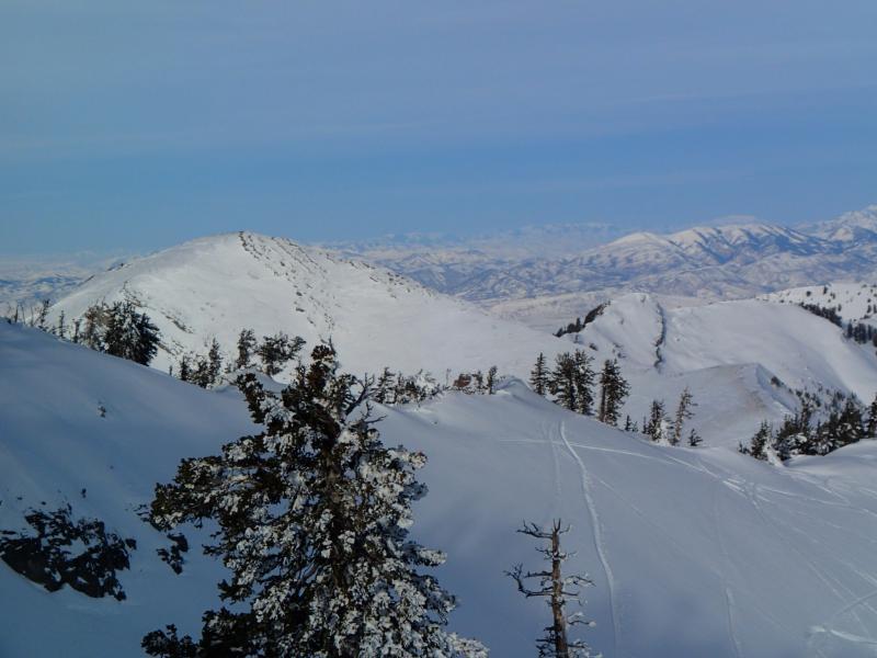
The next two pictures shows how scoured the ridgelines are. Cherry Peak was scoured down to the ground in many places. The strastrugi was looking pretty gnarly around Naomi.
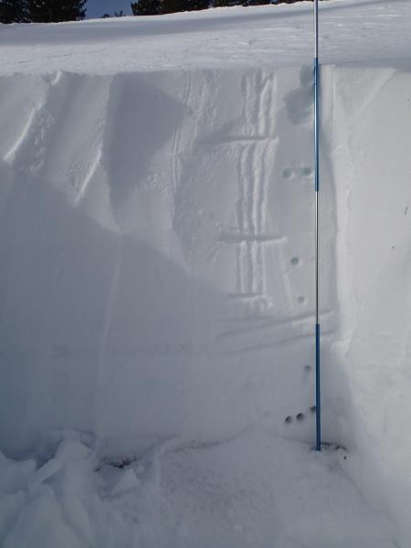
The fourth picture is of my pit. Total depth was around four feet. This pit was dug around 8600 feet and show no propagation with the ECT.
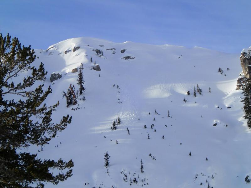
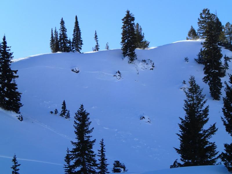
The last picture is the crown on the north facing slope in the rocky bowl. The slide occured early in the week and wes partially drifted in.
On the way up the Tony Grove road we stopped in the shady section of the road and noticed well 2-4 mm surface hoar. In areas not affected by wind the surface hoar may become and issue in the future with the new snow already on the way.
On the way down the canyon on the 21st we noticed sever dry sluffs on the steep slopes on the dugway. It looked like the cold temps, and extremely high temperature gradient on that thin snowpack, finally faceted the snow enough that dry sluffs were occuring naturally. The snow structure looked better up higher where the snowpack was a little deeper but down low it is starting to look bad. Another big storm down low could be bad.
While riding the Beav on the 20th we noticed what looked like a large crown on the East face of Wilderness Peak. I can't say for sure whether it was a crown or a snowmobile track but since there was only one track on the top of the hill I am assuming it had to be a crown. My guess is that the slide occured early in the week but since I was observing the slide from several miles away that is just a guess.
Wind drifted snow in exposed upper elevation terrain....


