Went up SW ridge of Ben Lomond today. Weather forecast verified. Didn't hit snow until around noon, so can't comment on overnight surface freeze (but I really doubt it).
South and west aspects are effectively isothermal, with boot pen to the ground in many places. However, souths on Ben Lomond are melted enough even in the upper elevations that there's no longer sufficient snow for any significant avalanche activity. Upper elevation west still has a meter or more of contiguous coverage, but no real layering remains. It's sloppy wet all the way down.
Didn't spend much time in N or E terrain, but if there were sufficient layering for wet slab problems, that's the only place I think you could find it. Noted some older sizeable point releases on the Cutler Headwall toward the Willard side, but no wet slab activity. Same story on Mount Ogden solars, and even the point releases there are limited and not terribly impressive.
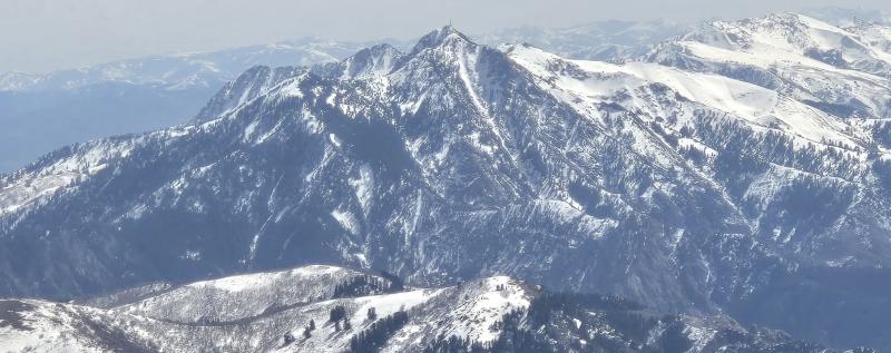
1. Looking across the S face of Ben Lomond near the summit, the SE arm of Ben Lomond to the Divide, and the N facing terrain of Lewis Peak with thin coverage.
2. Mount Ogden from the north. Banana Chute still obviously holds snow, but is thinning out, as is much of the mid elevation northerlies. (Solars are quite brown through mid elevations.)
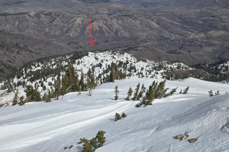
3. Looking down onto Cutler Ridge. Some snow is holding on, but Dead Tree Knob (arrow) is showing brown spots.
4. Cutler Headwall and Willard Peak. A few D1-2 wet point releases are visible, but no slab activity.