I think there is limited to no AST (available snow for transport) left to load slopes after a week of high winds. The lack of new snow from last night's storm limited wind slab development. Although it will feel like St. George this week in SLC, the Uinta snowpack is more reminiscent of a weak continental Colorado snowpack. With the warming forecasted this week, I would be suspicious of N-E-SE facing slopes. If the crust and slab are bridging right now, with warming temps, this will be reduced, potentially allowing riders to collapse the slab above the facets.
But, I bet there will be some quality corn skiing on S-SW slopes. Limited to no snow left on ATL w-NW slopes.
Today observed snow depths, all BTL (below tree line)... WSW, 10.200' HS 130cm. NW 10,400' HS 140-160 cm. N 10,000 HS 150 cm. ENE 10,000 HS 150-170.
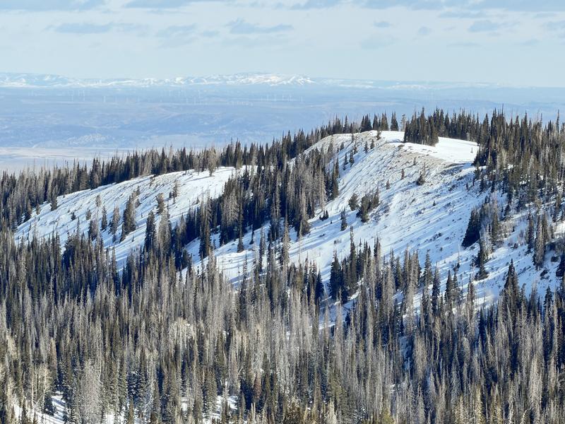
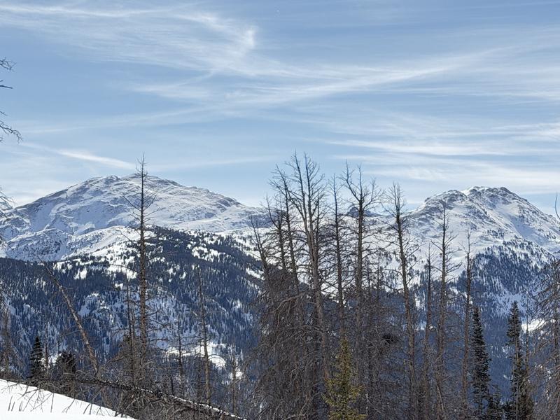
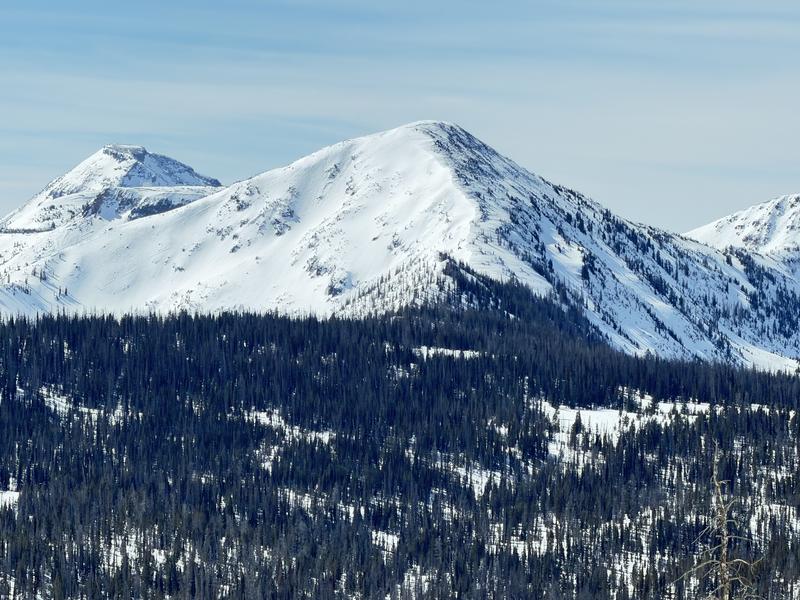
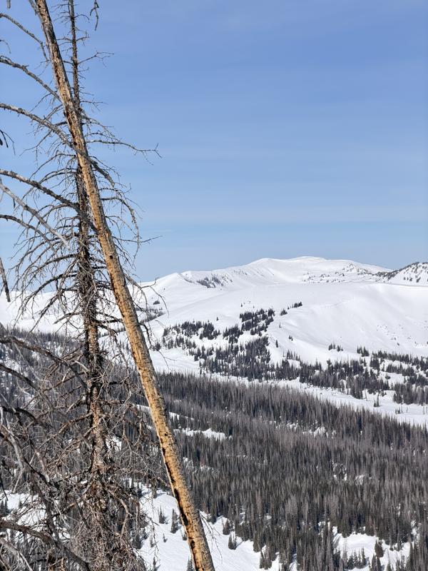
Photos show a lack of coverage on W-NW and slightly more robust coverage on the East half of the compass.