Observation: Mill Creek

Observation Date
3/14/2026
Observer Name
CBrown
Region
Uintas » Mill Creek
Location Name or Route
Trail Creek, Mill Creek
Weather
Sky
Broken
Precipitation
Light Snowfall
Wind Direction
Southwest
Wind Speed
Moderate
Weather Comments
Broken skies with a few sun breaks in the morning transitioned to overcast and obscured skies in the PM. S1 precip began around 15:00. SW winds were light gusting moderate in the most protected areas around 10,200 and moderate gusting strong at 11,000' ridge lines.
Snow Characteristics
Snow Surface Conditions
Powder
Dense Loose
Faceted Loose
Wind Crust
Melt-Freeze Crust
Snow Characteristics Comments

Variety of snow surfaces out there, settled powder in the most protected north-facing slopes above 10,000'. Upper elevation (11,000'+) W and NW faces are stripped down to the dirt. Eastern faces hold some snow.

Red Flags
Red Flags
Recent Avalanches
Wind Loading
Collapsing
Poor Snowpack Structure
Red Flags Comments
Structure in the area was poor on northerly facing slopes. 10,000'-11,000' northerlies HS ranges from 80cm to 180cm. Limited AST, but with high winds, anything left was blowing around a little bit, as was the new afternoon snow. Limited isolated collapsing. Observed some recent avalanches, dates unknown. See associated avalanche obs.
Avalanche Problem #1
Problem
Wind Drifted Snow
Trend
Increasing Danger
Problem #1 Comments

Increasing hazard with new snow

Avalanche Problem #2
Problem
Persistent Weak Layer
Problem #2 Comments

Poor structure exists and recent P slab avalanches observed

Comments

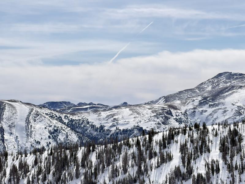
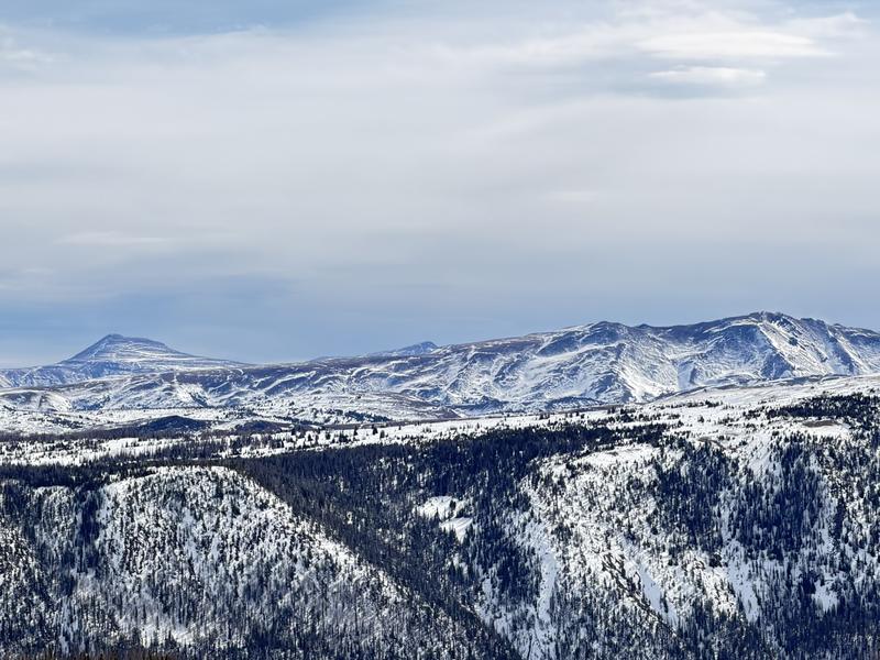
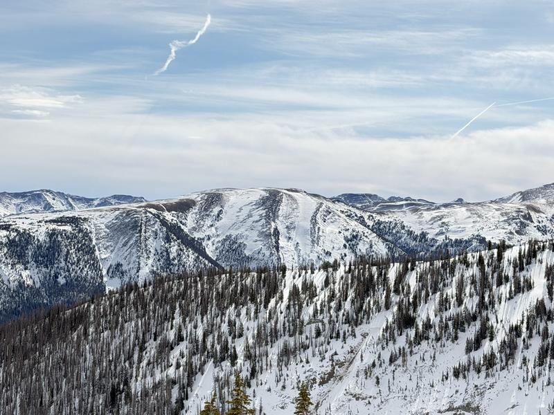
Pictures of wind-raked W and NW faces to the east. Last picture are more NE/E facing slopes with more snow

Coordinates