Primary focus of the day was looking at the snow surfaces, how well the new snow was bonding with the old snow surfaces and any obvious signs of instability. This storm was mostly well-behaved, with decent bonding on both N and S-facing slopes we observed. The snow from our previous storm system more than a week ago—that became wetted and soft when we were riding here about a week ago—luckily consolidated and refroze with the colder temps this storm rode in on.
The result was a (mostly) supportable structure underneath the 6-8" of new storm snow, which made for enjoyable riding. In isolated areas, the unlucky rider could still pop through to the faceted snow below (Dry January Layer) and get pretty stuck. While we did not observe steep terrain, our plan was to not enter avalanche terrain that looked wind loaded—like Whiskey and Beer Hills—and steep slopes on the N half of the compass when the DJL may still release a large slab.
Photos:
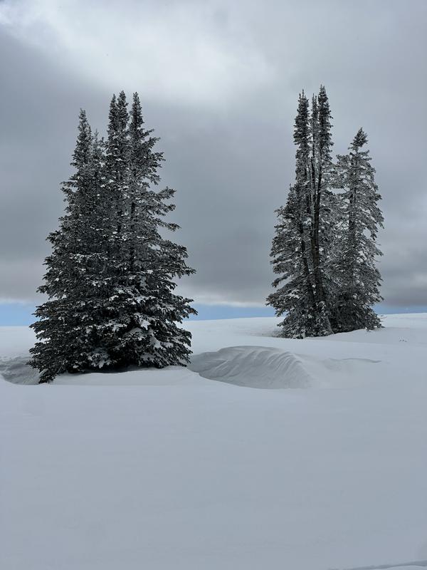
#1: Wind-drifted snow was our primary concern, both on steeper slopes and even in flatter areas with lower-vis conditions
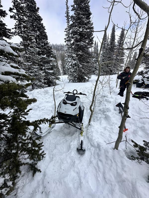
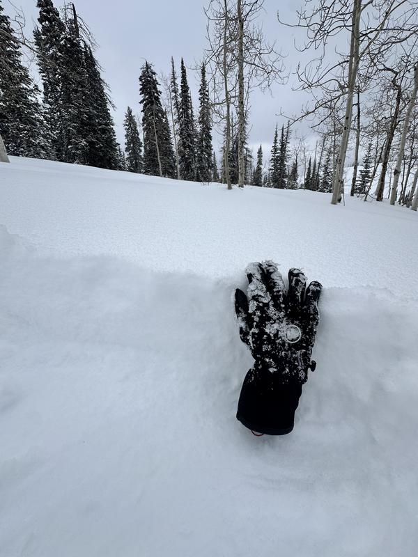
#2: Snowpack structure was mostly supportable above the DJL. Mostly.
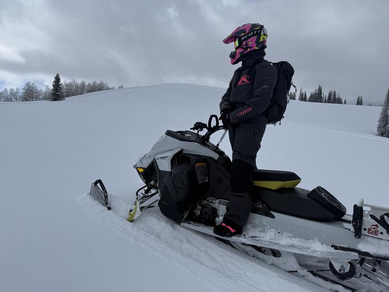
#3: Machine ski pen was mostly 6-8"
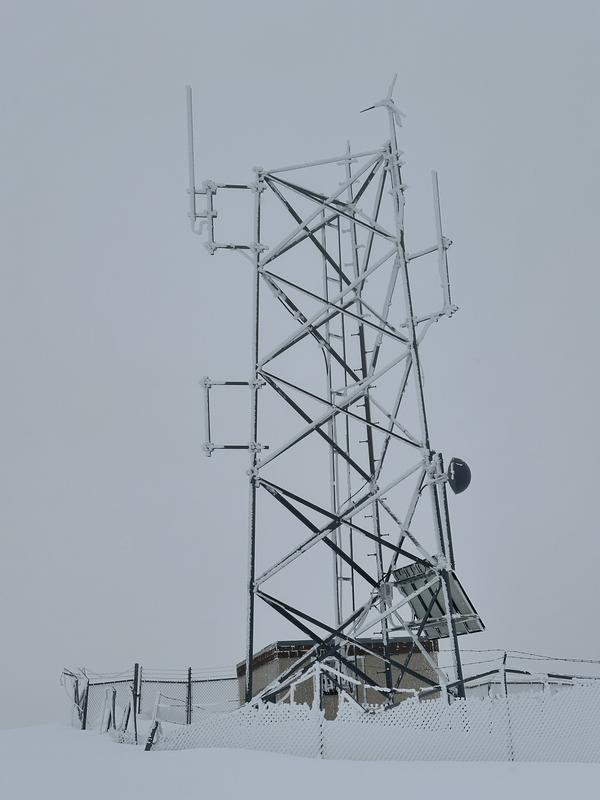
#4: The storm came in on the wetter side, especially trending into the afternoon. Rimed PP and graupel fell, with rime decorating any tree or tower in sight.
#5: HST 6-8"