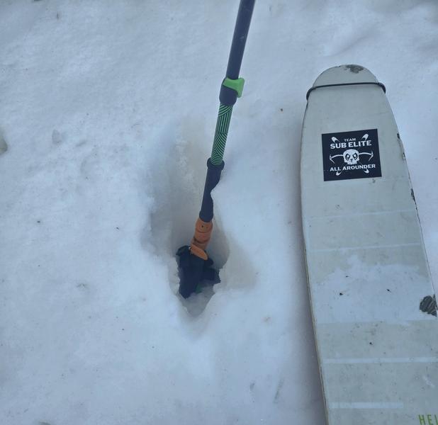
Also noteworthy was general coverage, as the snowpack took a beating with the rain and subsequent warmth and sun this week. Mid elevation HS was a meter-ish; we lost a lot of depth since last weekend. Walked the road both directions, and couldn't quite actually ski all the way out of the trees to the road. I imagine this only gets worse with the coming precip and high rain-snow lines.
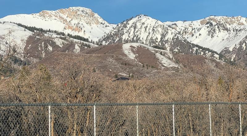
More generally, rideable low elevation coverage is largely confined to the NW-N-E polars, and even then varies by zone. My other travels this week revealed no real snow left in Ogden Canyon or Taylor Canyon below 7000ft, though the Divide and North Fork Park still have enough in places on low elevation polars to permit travel on snow. Solars on both Ben Lomond and Mount Ogden have plenty of brown into mid elevations, up to 7500-8000ft.
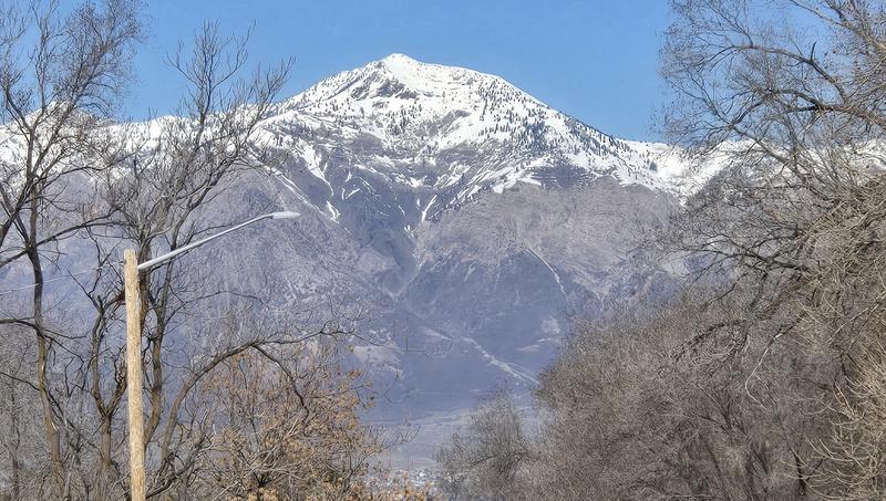
1. Ben Lomond South Face
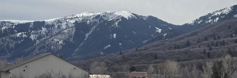
2. North Ogden Divide from NE. Lime Kiln and Lewis Peak shots are both looking super thin.
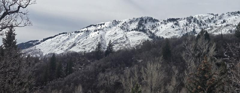
3. Chilly Peak slabs.
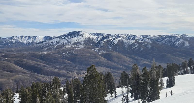
4. James Peak/Powder Mountain from W.
5. Cutler Ridge, Birthday Bowls, Island Peak (all notably low/no coverage), and Willard, from E/SE.
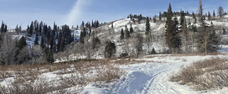
6. Coverage at the LZ.
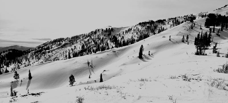
7. Rodeo Ridge from the NW. Surface drainage runnels faintly visible on the foreground ridge, with ample bushes sticking out on north facing mid elevation slopes.
8. Moose foot pen. Supports the snowpack evidence that rain made it all the way to the ground.