Observation Date
2/25/2026
Observer Name
Ryan Huels
Region
Moab » Geyser Pass
Location Name or Route
Geyser Pass
Comments
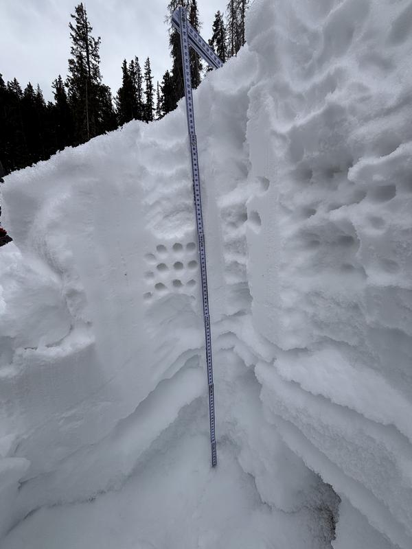
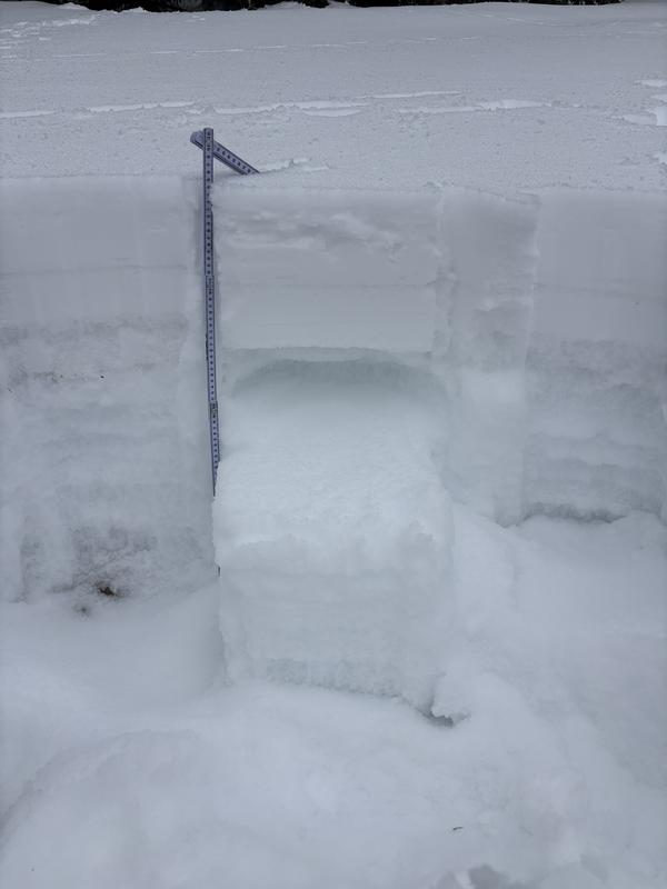
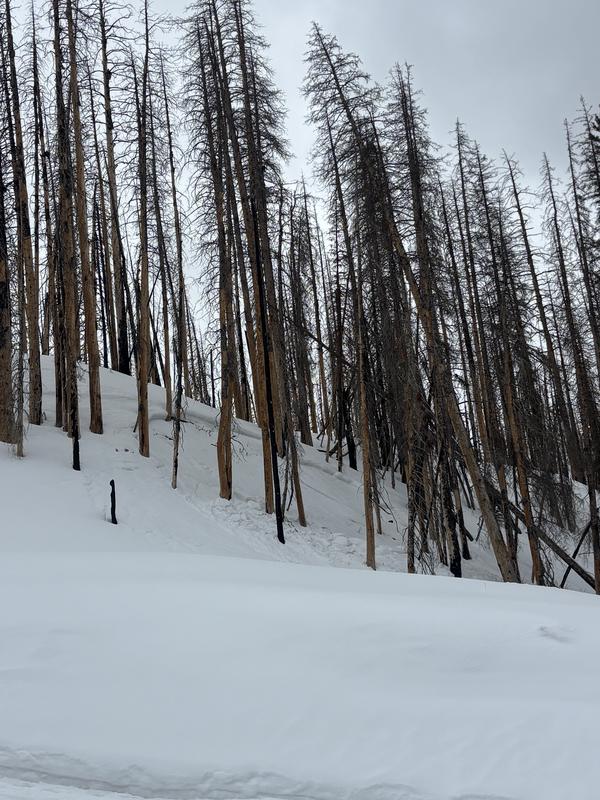
Photos as follows.
-Profile on NE aspect
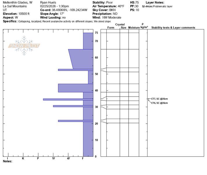
-Another snow profile On W facing terrain around 10500’ showing CT 7 and 6 SC @ 35cm.
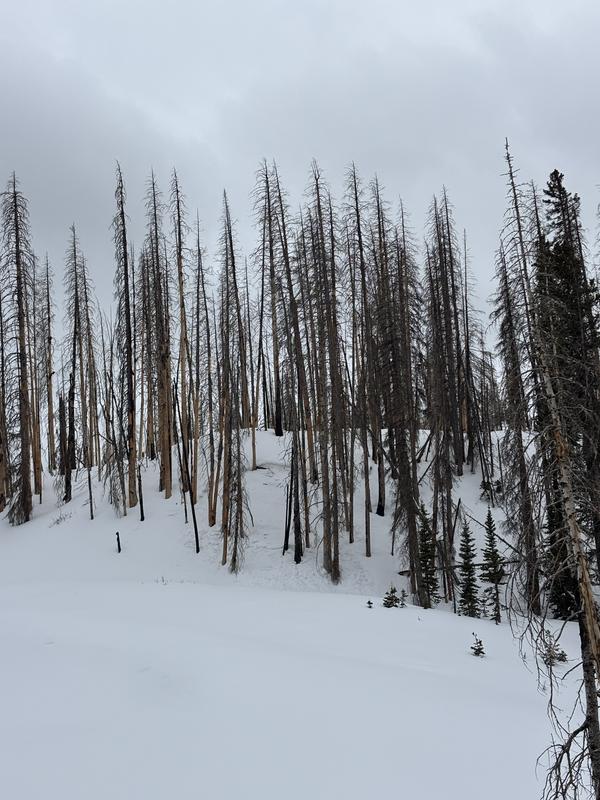
-A relatively recent looking avalanche that appears to have broke around 2’ deep on NW facing terrain due to warm temps and wet snow.
-Spring like looking snow texture, but not at all seeking out spring like terrain
Today's Observed Danger Rating
Considerable
Tomorrows Estimated Danger Rating
Considerable
Coordinates


