North facing mid and upper elevation terrain is still holding settled powder although low angle North started to heat up by mid day. Solars and low elevations had a melt freeze crust in morning and were taking on heat with fresh rollerballs observed by afternoon.
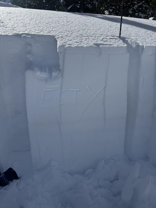
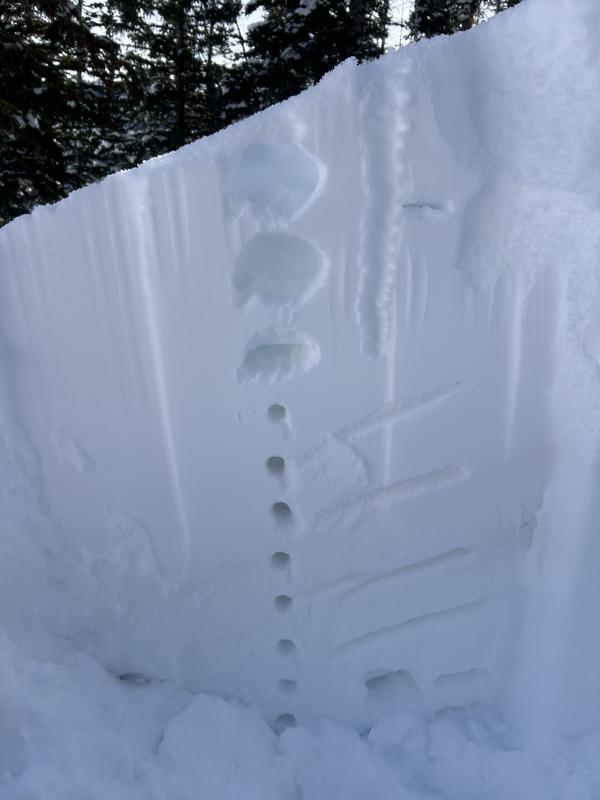
Snowpit on a NW slope at 9200 with an HS of 180 revealed generally good structure with Dry January Layer being 1F hard and unreactive (ECTX) in stability tests. This is a stark contrast to the poor structure with Fist hard facets not far away on the Park City Ridgeline. Listing PWL still as the number 1 problem for the due to the spatial variability of the weak layer and recent avalanche activity across the range.
Today was hot and the snow was taking on heat and becoming damp early in the day. With continued daytime warming I'd expect to see more small wet activity on solars and low elevation northerlies.
Read About Our History
Find an avalanche class
How to read the forecast
Submit an Observation
View Our Calendar