Forecast for the Ogden Area Mountains

Issued by Nikki Champion on
Wednesday morning, February 26, 2025
Wednesday morning, February 26, 2025
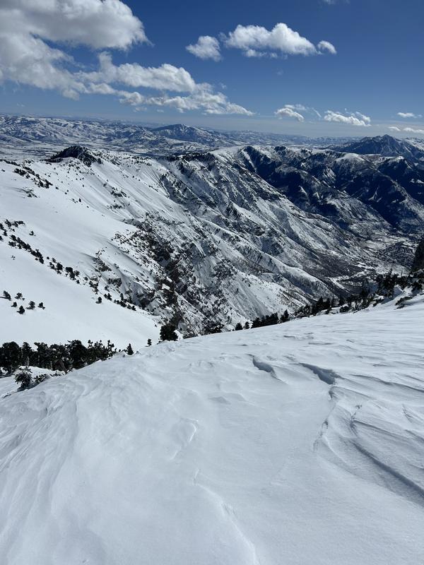
Today, MODERATE avalanche danger exists on mid and upper-elevation slopes facing east, north, and west, where triggering a persistent weak layer avalanche is possible. This also extends to all upper-elevation terrain due to recent wind-drifted slabs of snow.
All other slopes have a LOW avalanche danger. Winds should help maintain a cool snow surface, but as temperatures warm throughout the day, the risk of wet-loose avalanches could increase, especially on solar aspects. Pay attention to changing conditions—if the snow surface becomes damp and unsupportive, it may be time to move to a more shaded aspect.
Careful snow and terrain evaluation is essential, as human-triggered avalanches remain possible.

Low
Moderate
Considerable
High
Extreme
Learn how to read the forecast here