SAVE THE DATES!
Wednesday, December 4 - USU KBYG (Know Before You Go) Night, USU ARC
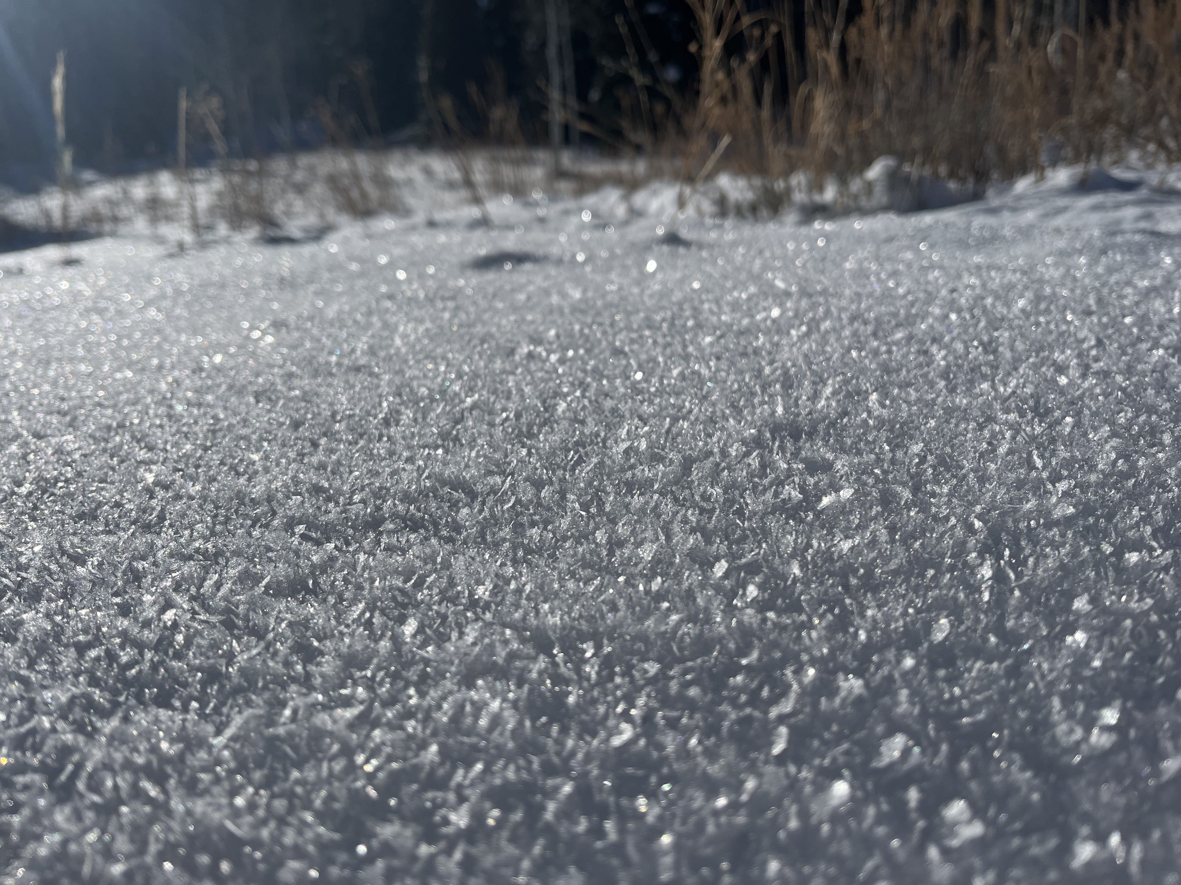
We're finding generally safe avalanche conditions in the Logan Zone, and the greatest hazard is hitting rocks. The snowpack is still quite shallow, with many obstacles visible above the snow surface and others that are only shallowly buried by loose snow. Skiers and snowboard riders can find decent "loud powder" conditions on lower angle, shaded, and sheltered slopes with weak snow or surface hoar on the snow surface.
- Winds blowing from the west increased significantly on Saturday, so watch for small stiff slabs of wind-drifted snow in upper-elevation terrain. These may sound hollow or feel stiff underfoot.
- Low avalanche danger does not mean no avalanche danger, and taking a ride in even a small avalanche could be quite dangerous and consequential.
-The 8500' Tony Grove Snotel reports 34°F and 19 inches of total snow on the ground. It's 34°F at the 8800' UAC Card Canyon weather station, with 22 inches of total snow.
-Currently at 9700' at the CSI Logan Peak weather station, it's 34°F and the wind is blowing from the northeast at 10 mph. At 9500' on UAC Paris Peak it's 33°F, and winds are from the north 5 mph.
No significant avalanches have been reported recently.