Observation Date
2/17/2024
Observer Name
Ted Scroggin
Region
Uintas » Gold Hill
Location Name or Route
Gold Hill
Weather
Sky
Few
Wind Direction
Southeast
Wind Speed
Calm
Weather Comments
A rather cold start to the day with single digit temperatures and a slight southeast wind made for a cold start, but it did warm up and was a very nice day. A few high clouds rolled in and out throught the afternoon.
Snow Characteristics
New Snow Depth
14"
New Snow Density
Medium
Snow Surface Conditions
Powder
Wind Crust
Damp
Snow Characteristics Comments
The snow has been slowly adding up over the last few days with about 14" in the Gold Hill area of nice medium to low density snow that rides and turns quite nice. The winds looked like they decreased at the tail end of the storm and I observed very little drifting on this south side of the Gold Hill Ridge line.
Red Flags
Red Flags
Wind Loading
Red Flags Comments
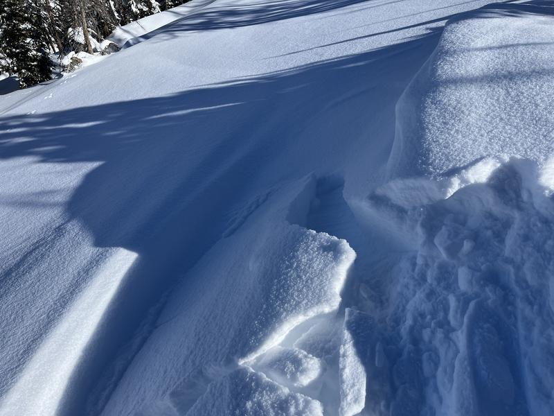
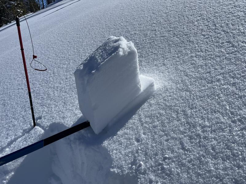
There was some new cornices that developed on the ridge from recent winds and it looks as though the winds were from both a south and north direction during the week. I did get a couple wind drifts to crack up to 10" deep, but they were not very sensitive.
Avalanche Problem #1
Problem
Wind Drifted Snow
Trend
Increasing Danger
Problem #1 Comments
I did not travel into the upper elevation areas where the wind slabs were likely more of an issue. At this location the wind drifted snow appeared to be unreactive and would just crack around skis. Should be a fresh round of drifts with a new storm this evening.
Avalanche Problem #2
Problem
Persistent Weak Layer
Trend
Same
Comments
Just a few minor wind drifts that cracked out up to 10" or so and did not pose a big problem unless in steep terrain.
Found some minor density changes below the new snow, I would think these will settle out quickly.
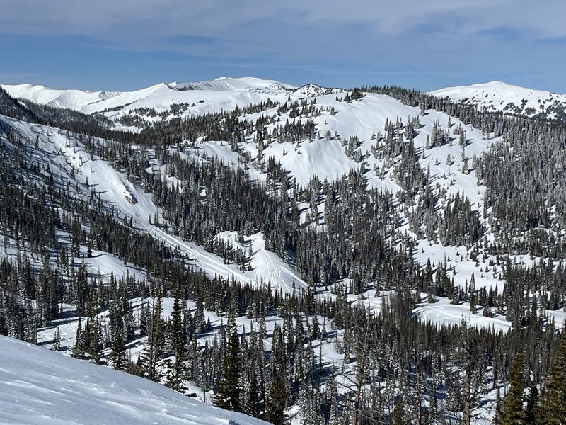
The coverage is looking great around Gold Hill and the riding conditions are very good with easy travel and riders have been getting into some of the steeper slopes.
Today's Observed Danger Rating
Moderate
Tomorrows Estimated Danger Rating
Moderate
Coordinates


