Observation Date
2/10/2024
Observer Name
Ted Scroggin
Region
Uintas » Boundary Creek
Location Name or Route
Boundary Creek
Weather
Sky
Few
Wind Direction
North
Wind Speed
Light
Weather Comments
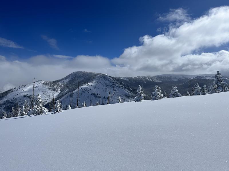
Cold and mostly clear skies and a light north wind kept things on the chilly side even in the sun. Over some of the higher terrain clouds did seem to hang around, but low and mid elevation stayed on the clear side.
Snow Characteristics
New Snow Depth
14"
New Snow Density
Medium
Snow Surface Conditions
Powder
Snow Characteristics Comments
A great storm for the Uintas even in the places east of the trail head that often times get left out. The snow quality is amazing and the coverage is very good with only a few logs to watch out for in this area.
Red Flags
Red Flags
Poor Snowpack Structure
Red Flags Comments
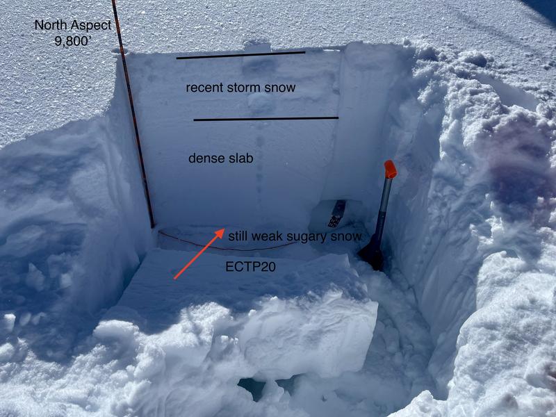
I did check the snowpack as a red flag as my ECT did result in a score of ECTP20 with some decent energy. This was not totally surprising as I was digging the snow pit once I got down near the bottom of the snow pack my shovel just plunged into quite weak sugary faceted snow.
Avalanche Problem #1
Problem
Persistent Weak Layer
Trend
Same
Problem #1 Comments
My travels today were on the mellow side and just moved around through some mid elevation type terrain and did not get eyes on a lot of avalanche terrain. The snow pack in this area is around 140cm or a little less than 60" which is quite good, but the structure is still suspect and I would be cautious where things are still thin.
Comments
With a total snow depth of around 60" this is fairly decent for this area, but the faceted snow near the ground from early season is still quite weak and would propogate a crack clear across the column with 20 hits from the shoulder.
Great snow, mostly clear skies and the Uintas are white.
Today's Observed Danger Rating
Moderate
Tomorrows Estimated Danger Rating
Moderate
Coordinates


