Check out our Holiday Auction - Sign Up for the Utah Snow and Avalanche Workshop (USAW)

Forecast for the Ogden Area Mountains

Greg Gagne
Issued by Greg Gagne on
Friday morning, February 9, 2024
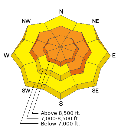
The avalanche danger is CONSIDERABLE at the upper elevations and mid-elevation slopes facing west through north and southeast. The avalanche danger is MODERATE at the low elevations and mid-elevation slopes facing southwest and south. Avalanches may involve soft slabs of storm snow or wind-drifted snow 2' to 3' deep. On slopes facing the north half of the compass (especially north through east), avalanches may fail in a persistent weak layer and be up to 6' deep.

Avalanche terrain can easily be avoided as there are great riding conditions on lower-angled slopes on all aspects.
Low
Moderate
Considerable
High
Extreme
Learn how to read the forecast here
Weather and Snow
This morning: Temperatures are 10 - 15° F and winds are from the west and light, gusting into the upper teens and low 20's mph along the Ogden Skyline. Another inch or two of snow fell overnight.
Approximate storm totals since February 1 are 3-4' of snow containing up to 4" of water. ❄️
Skiing and riding conditions are brilliant.
Today will feature snow showers with a few inches of snow, with some graupel possible this afternoon. Winds will be from the west and should decrease throughout the day, gusting into the teens at mid-elevations and 20's mph on the most exposed ridges along the Skyline'. Temperatures will rise into the upper teens and low 20's F.

It has been a snowy start to February, but after additional snow showers overnight and into Saturday morning, skies will clear Sunday with high pressure moving into the region through at least mid-week.
Recent Avalanches
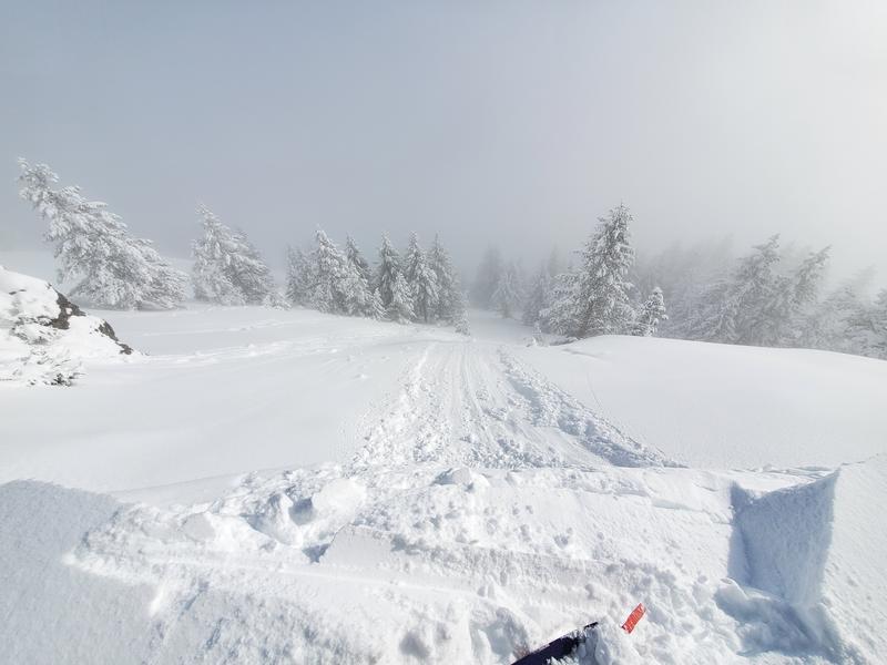
The only avalanche activity reported from the backcountry on Thursday was along the North Ogden divide where cornice drops produced long-running sluffs in the storm snow. Photo below from Daniel Turner - read their full observation here.
Control work from resorts on Thursday got avalanches failing within the storm snow.

Be sure to make reading reported avalanches and observations part of your backcountry planning.
Ad
Avalanche Problem #1
New Snow
Type
Location
Likelihood
Size
Description
Although storm snow instabilities are settling out, you can still trigger an avalanche 2-3' deep failing within the storm snow, especially on slopes that were wind-loaded from strong winds from the south on Tuesday and Wednesday. These slabs of wind-drifted snow will be buried underneath recent snowfall, so you will need to probe down and look for a harder/denser slab below the snow surface.
Trend: Decreasing danger
Avalanche Problem #2
Persistent Weak Layer
Type
Location
Likelihood
Size
Description
Reports from the backcountry continue to show the persistent weak layer (PWL) continuing to heal, and although the 3-4" of water weight since the start of February has placed additional stress onto this weak layer, this load will also help heal and strengthen the PWL. For now, I continue to avoid steep slopes where the PWL exists - especially in upper-elevation areas where there is a thinner snowpack. Give this weak layer a little more time.
Trend: Steady danger
General Announcements
This information does not apply to developed ski areas or highways where avalanche control is normally done. This forecast is from the U.S.D.A. Forest Service, which is solely responsible for its content. This forecast describes general avalanche conditions and local variations always occur.