Forecast for the Ogden Area Mountains

Nikki Champion
Issued by Nikki Champion for
Saturday, February 10, 2024
Today, the avalanche danger is MODERATE. Deadly slab avalanches may fail in a persistent weak layer and be up to 6' deep on upper and mid-elevation slopes facing west through north and southeast. On all other slopes, the main concern is soft slabs of storm snow or wind-drifted snow 2-3' deep. In areas without a cohesive slab, you may trigger long-running loose snow sluffs in steep terrain.
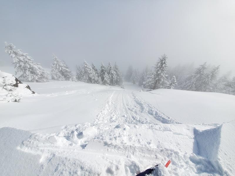
With clearing skies, backcountry riders will continue to encounter elevated avalanche conditions. Evaluate snow and terrain carefully. Excellent riding conditions exist on lower-angled slopes in all directions.
Low
Moderate
Considerable
High
Extreme
Learn how to read the forecast here
Special Announcements
There is a NEW beacon training park in Park City near the Park City Day School. We encourage you to check it out and practice your avalanche rescue skills.
Weather and Snow
This morning, skies are clear and temperatures range in the single digits to low teens F. Winds have shifted more northeasterly and are primarily light, with a few overnight gusts near 20 mph. A trace amount of snowfall was picked up overnight.
Skiing and riding conditions are excellent at all elevations across the range.
Today, Northern Utah is experiencing drier and more stable conditions, though there might be a few stray showers this morning. Skies will be partly cloudy, with temperatures climbing into the low 20s F and northerly winds remaining light, gusting to 25 mph along the highest ridgetops. By Sunday, high pressure will bring dry weather, starting a warming trend for the week ahead.

There might be some unsettled weather later this week, but it's more likely to snow again by next Monday.
Recent Avalanches
The only avalanche activity reported from the backcountry was on Thursday was along the North Ogden divide, where cornice drops produced long-running sluffs in the storm snow. See the photo below from Daniel Turner and read their full observation here.
Control work from resorts continues to trigger small avalanches within the storm snow.

Be sure to make reading reported avalanches and observations part of your backcountry planning.
Ad
Avalanche Problem #1
Persistent Weak Layer
Type
Location
Likelihood
Size
Description
Several feet of snow, containing multiple inches of water, should eventually help heal our persistent weak layer (PWL) problem. However, for now, it has only complicated things. Whereas on January 31st, you could find a 1-2 foot slab on top of the facets (the PWL) in thinner snowpack areas, there is now an additional 2-3 feet of snow on top of the PWL, and even more in the wind-loaded areas.
The likelihood of triggering an avalanche on the PWL is very low in the Ogden area, and I would almost describe the PWL as dormant. However, with the addition of water weight over the past few days, we aren't ready to put the layer completely to bed yet.
UAC forecaster Dave Kelly perfectly describes the situation in his field day on Thursday in Days Fork. "The weak layer is no less strong than it was a week ago, but the slab over the top is much thicker. The bottom line is that the difference is more weight. The avalanches will be bigger. Give this weak layer time."
Avalanche Problem #2
New Snow
Type
Location
Likelihood
Size
Description
Although storm snow instabilities should be settling out today, you can still trigger an avalanche 2-3 feet deep, failing within the storm snow, especially on slopes that were wind-loaded from strong winds from the south on Tuesday and Wednesday. These slabs of wind-drifted snow will be buried underneath recent snowfall, making signs of instability less obvious. You will need to probe down and look for a harder/denser slab below the snow surface.
In areas without a cohesive slab, you may trigger long-running loose snow sluffs in steep terrain. While these avalanches will be small, they can be consequential if swept through steep terrain.
General Announcements
This information does not apply to developed ski areas or highways where avalanche control is normally done. This forecast is from the U.S.D.A. Forest Service, which is solely responsible for its content. This forecast describes general avalanche conditions and local variations always occur.