Sign Up for the Utah Snow and Avalanche Workshop (USAW) on December 7th!

Observation: Strawberry Peak

Observation Date
1/7/2024
Observer Name
Staples & Woodruff
Region
Uintas » Strawberry Peak
Location Name or Route
Strawberry Peak
Weather
Sky
Obscured
Precipitation
Light Snowfall
Wind Speed
Calm
Weather Comments
Snow falling all day long with brief moments of sun made for dramatic lighting.
Snow Characteristics
New Snow Depth
8"
New Snow Density
Low
Snow Surface Conditions
Powder
Snow Characteristics Comments
8 inches of new snow. About 5 falling last night and 3 during the day.
Avalanche Problem #1
Problem
Wind Drifted Snow
Trend
Decreasing Danger
Problem #1 Comments
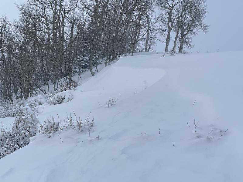
Winds had moved snow a little bit. Wind slabs by themselves a non-issue today.
Avalanche Problem #2
Problem
Persistent Weak Layer
Trend
Increasing Danger
Problem #2 Comments
It's very easy to find lots of weak snow in the snowpack. The new snow is just fluff and needs more cohesion before it will cause slab avalanches on facets.
Snow Profile
Aspect
North
Elevation
9,500'
Slope Angle
16°
Comments
Went to Strawberry Peak to see how much snow the winds had moved as well as how reactive the facets (buried on Jan 4th) were.
Winds? - drifted some snow at ridgetops but really not a huge concern. We"ll be waiting to see more significant winds in coming days.
Jan 4th facets? - New snow was just too fluffy and not slabby.
Photos below of facets under the new snow producing ECTN and ECTP12. Video - The propagation saw test (PST) would start to propagate a crack in the weak layer but the slab would fracture and arrest the crack propagation.
Video
Photos below show wind drifting
Today's Observed Danger Rating
Moderate
Tomorrows Estimated Danger Rating
Moderate
Coordinates