Observation Date
1/5/2024
Observer Name
Katz/Harrison/Lee
Region
Uintas » Mill Hollow
Location Name or Route
Mill Hollow
Comments
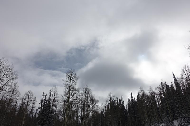
Its on! In the Mill Hollow zone today, 4" of rimed precipitation particles fell (attached is photo of rime on a tree). While this bump of snow greatly improved turning conditions and coolant temperatures, only skiing old, loud powder underneath the new snow kept one from bottom feeding. Intact buried surface hoar (photo attached, 2mm grid) could be found almost everywhere, except, ironically, the location of the attached snowpit, which was dug in an area of relative shelter. Later in the day, after the increased snowfall rates of 13:15, handpits were failing on the old/new interface with regularity. Two ECTP results (one attached) in the attached snowpit revealed the reactivity of the November facets with the weight of new snow.


Today's Observed Danger Rating
None
Tomorrows Estimated Danger Rating
None
Coordinates


