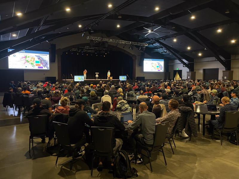
Huge thanks to everyone who presented and everyone who attended last weekends USAW and PROSAW gigs at the DeJoria Center. It's clear... we have an absolutely remarkable community and it was so nice to see many old friends and get to make new friends along the way!
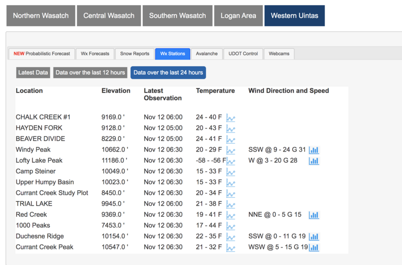
Thanks to ginormous help from Sean Smith at the National Weather Service, our Uinta Weather Station Network is solid and running on all cylinders. Click
HERE and then choose Western Uinta tab for a live version of the static image above.
Meanwhile, back at the ranch... Tuesday's storm focused its sights on the North Slope, delivering about 9" of snow with right around .90" H2O... in other words, just about average snow density. The south half of the range got skunked with a trace to a couple traces of white paint. Coupled with the late October snow there's less than a foot of settled snow, which is hardly enough base to move around on. The bad news is... this isn't a particularly robust start to winter.
So here's what we can do so we don't get surprised once winter returns from its hiatus. If you're out for a drive around one of our upper elevation byways, fire off a few digi images on your phone of the terrain where snow currently exists, especially slopes facing the north half of the compass, where pre-existing snow will grow weak and sugary over time. Mapping out current snow coverage and distribution gives us an edge. We can use this as a touch point and cross-reference where potential weak layers, booby traps, and landmines may lay once it starts storming again and everything turns white.
Weather wise... high pressure builds overhead, delivering warm, dry weather for the first half of the week. A moist pattern develops late in the week, though it looks like the energy favors the southern half of the state.


