Sign Up for the Utah Snow and Avalanche Workshop (USAW) on December 7th!

Observation: Whitney Basin

Observation Date
2/11/2023
Observer Name
Ted Scroggin
Region
Uintas » Whitney Basin
Location Name or Route
Whitney Basin/Moffit Peak
Weather
Sky
Overcast
Wind Direction
South
Wind Speed
Light
Weather Comments
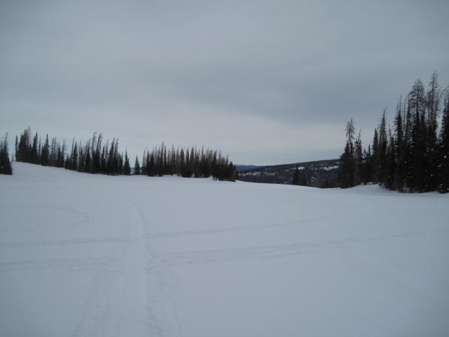
Temperatures were inverted this morning with cold single digit readings in town, but slightly warmer at the trailhead. Winds were a little gusty from the south early in the day, but did settle down as the afternoon went on and the skies stayed mostly cloudy with some filtered sunshine.
Snow Characteristics
Snow Surface Conditions
Powder
Wind Crust
Melt-Freeze Crust
Snow Characteristics Comments
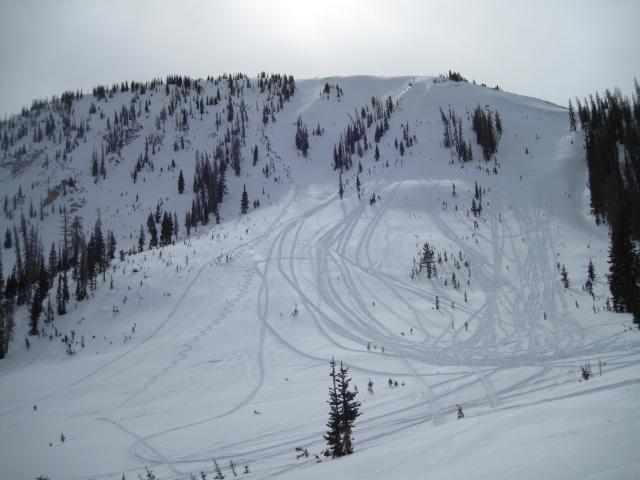
Generally nice soft settled powder snow out there today with the south facing slopes having a thin melt freeze crust. Some wind drifted snow on the ridge lines, but no unstable snow that I observed today.
Red Flags
Red Flags
Wind Loading
Red Flags Comments
I did check the wind loading box, but seems like most of the wind issues have settled out and I did not find any wind concerns in my travels.
Avalanche Problem #1
Problem
Wind Drifted Snow
Trend
Decreasing Danger
Problem #1 Comments
I would say there is mostly just normal caution right now, but the winds were pretty steady this week and there might be some lingering wind drifts that could be reactive to a persons weight.
Comments
The weather this morning was a little underwhelming with gray skies and light south winds, but there was some filtered sunshine later this afternoon.
Both riders and skiers found nice soft settled snow today where the recent winds did not affect the snow quality too much.
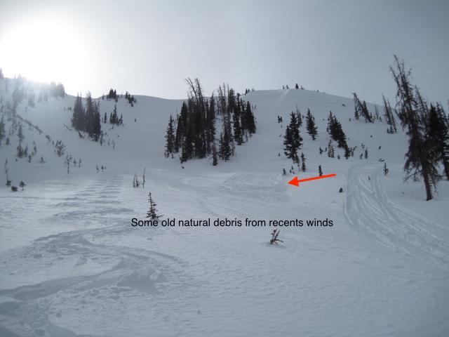
There was a little bit of old natural avalanche debris from some wind slabs that released higher up on the ridge line.
Today's Observed Danger Rating
Low
Tomorrows Estimated Danger Rating
Low
Coordinates