Join us for the 17th Annual Professional Snow and Avalanche Workshop (PROSAW) on November 4 - Purchase tickets here!

Forecast for the Logan Area Mountains

Trent Meisenheimer
Issued by Trent Meisenheimer on
Tuesday morning, January 17, 2023
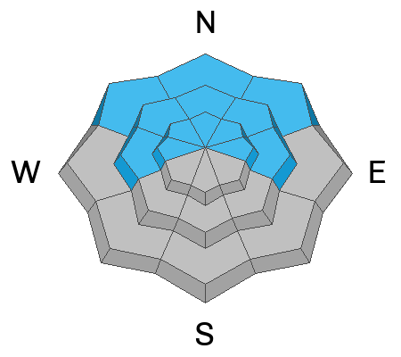
Today the avalanche danger is rated MODERATE on all steep slopes at the mid and upper elevations. Here it is possible to trigger shallow soft slab avalanches within the new snow or loose dry avalanches on slopes steeper than 30°.
Although unlikely to trigger a large and dangerous deep slab avalanche, a smaller avalanche overrunning a slope with poor snow structure could cause a much larger avalanche to fail on a deep, persistent weak layer buried 2 to 5 feet deep.

Evaluate snow and terrain carefully. Keep an eye on your friends and have a plan in case an avalanche were to happen.
Low
Moderate
Considerable
High
Extreme
Learn how to read the forecast here
Weather and Snow
Under cloudy skies, the current mountain temperatures range from 19-23°F. Winds are from the south and are blowing 10-15 mph with the occasional gust into the upper 20's. Overnight Tony Grove picked up 1-3 inches of new snow with 0.10 inches of water.
Today, we could see another 1-3 inches of new snow throughout the day, with mountain temperatures climbing into the upper 20s °F. You can expect light (less than 20 mph) ridgetop winds with mostly cloudy skies and light snowfall throughout the day.
It should be an excellent day to be in the mountains as the riding conditions are about as good as it gets, with powder snow on all aspects and elevations.
Recent Avalanches
Yesterday in our travels in Tony Grove, we saw a few new snow soft slab avalanches that were roughly 5-10 inches deep and 25-50 feet wide. These avalanches were small and didn't produce significant debris piles. One observer noticed the same, and you can read their observation HERE.
Ad
Avalanche Problem #1
New Snow
Type
Location
Likelihood
Size
Description
Small soft slabs and dry loose avalanches withing the new snow are possible for people to trigger on steep slopes today. If you're getting after steep terrain (slopes greater than 30°), keep an eye on your friends and ride slopes one at a time in case anything were to happen. As always, avoid terrain traps where even small avalanches can pile up deeply.
Be on the lookout for any fresh drift of wind-blown and avoid those areas. Here avalanches 1-2 feet deep that fail within the new snow could be large enough to bury a person. As always, avoid any slope that is or has been loaded by the wind.
Avalanche Problem #2
Persistent Weak Layer
Type
Location
Likelihood
Size
Description
In many areas in the Logan zone, the snowpack is becoming so deep (6-10 feet deep) that our old November weak layer of faceted snow is becoming dormant and humans are unlikely to trigger an avalanche to this layer. However, the Logan zone is massive, and we've seen areas where the snowpack is shallower and generally less than 5 feet deep, and these are the areas that I would avoid. For example, the Wellsville and Logan Peak Area are more suspect because they generally hold a shallower snowpack.
General Announcements
  • Remember, when you leave the ski area boundary, Beaver Mt or Cherry Peak, you are entering the backcountry, and you could trigger dangerous avalanches.
  • Please submit your observations from the backcountry HERE.
  • For a list of avalanche classes from the Utah Avalanche Center go HERE
  • For information on where you can ride your sled or snowbike, check out this map of the winter travel plan for the Tony Grove and Franklin Basin Areas HERE.
This forecast is from the U.S.D.A. Forest Service, which is solely responsible for its content. This forecast describes general avalanche conditions and local variations always occur.