Observation Date
12/20/2022
Observer Name
Champion
Region
Salt Lake » Big Cottonwood Canyon » Greens Basin
Location Name or Route
Lower Green's Basin
Comments
Headed up towards Green's Basin to check out lower elevation tree-covered terrain, similar to the terrain where we have been seeing recent avalanche activities and accidents. (Thomas Fork Accident Report, Pink Pine Accident Report). On the tour up, I noted a large surface hoar across all terrain. This surface hoar ranged from 3mm-9mm, and was even larger on terrain features like trees and bushes. With the incoming winds tomorrow, I would guess that most of this surface hoar gets knocked down.
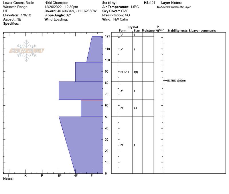
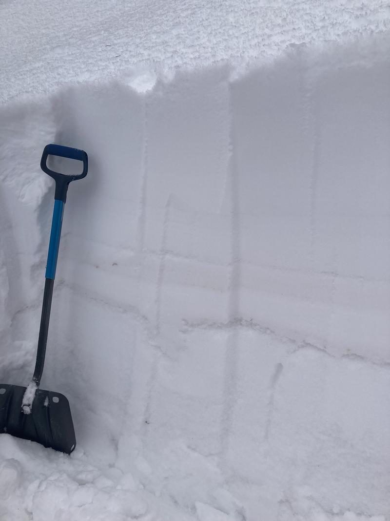
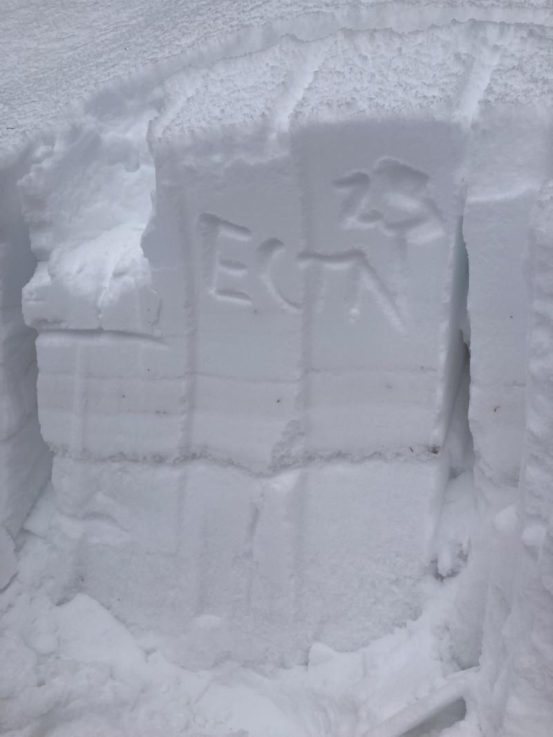
I dug a pit near 7800' on a Northeast facing aspect. Within the snowpit I found the most recent storm snow, sitting atop a firm 1F layer of wind-packed grains. This 1F slab was sitting atop weak faceted snow on the ground. Even with the poor snowpack structure, I was unable to get any propagation within my pit. This aligns with the recent trend we have been seeing across the range, especially in the Cottonwoods where the sensitivity and likelihood of the faceted grains seem to be decreasing. The new snow and wind on tap for the next few days may be able to bring this layer back to life though, so keep paying attention, as we know the structure is still there.
Pit profile, and snowpit images.


Today's Observed Danger Rating
Moderate
Tomorrows Estimated Danger Rating
Considerable
Coordinates


