Forecast for the Uintas Area Mountains

Issued by Craig Gordon on
Saturday morning, December 17, 2022
Saturday morning, December 17, 2022
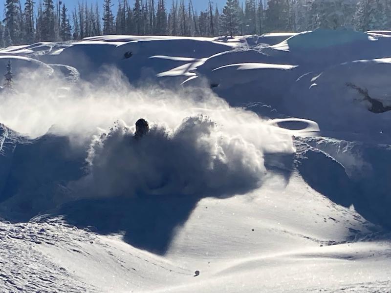
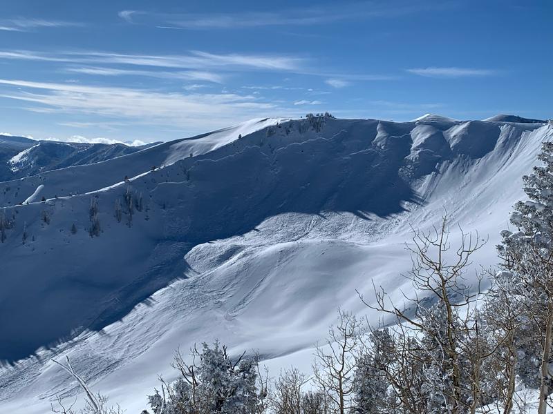
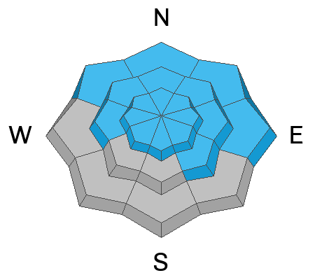
It's light, it's fluffy, it's epically deep, but this weeks new snow isn't affecting the avalanche danger. Underneath the blower pow, strong snow rests on weak snow... creating deceptively DANGEROUS AVALANCHE CONDITIONS. Today, you'll find CONSIDERABLE avalanche danger on all steep, shady slopes. The danger is most pronounced in terrain facing the north half of the compass in the wind zone at and above treeline. Human triggered avalanches breaking to weak, sugary, midpack snow are LIKELY. Mid elevation slopes on the south half of the compass with similar layering offer MODERATE avalanche danger and human triggered avalanches are POSSIBLE.
Looking for LOW avalanche danger? Well then, simply steer yourself toward low elevation south facing slopes, or head to wind sheltered terrain with no overhead hazard (meaning, no steep slopes above or adjacent to where I'm traveling) is the hot ticket. I've been finding excellent riding conditions and fun meadow skipping on mellow, wind sheltered slopes with no overhead hazard.

Low
Moderate
Considerable
High
Extreme
Learn how to read the forecast here


