Join the Utah Avalanche Center and the Division of Outdoor Recreation to celebrate the Fourth Annual Avalanche Awareness week, from December 4 - December 11. Click
here to view the full list of events for the week. A few of note below:
Skies are clear.
Storm totals are 10-16" in the upper Cottonwoods and along the Park City ridgeline. Densities are the stuff of dreams - 4-5% of cold smoke fell yesterday and made for some of the best skiing and riding of the year on all aspects and elevations.
As of 5am, mountain temperatures are in the single digits and low teens. Winds are light and westerly.
For today we'll have mostly clear skies, light west to southwest winds and temperatures in the mid-teens up high, the low twenties down low. Should be glorious.
The Outlook: We'll have good powder preservation weather through the week with generally cool temps and light winds. A weak system pushes through mid-week that'll bring a few inches to the central Utah mountains and possibly as far north as the Provo area mountains. Beyond that, the models depict another storm for the weekend.
Mark Staples put together a comprehensive Weather and Snow Summary HERE>
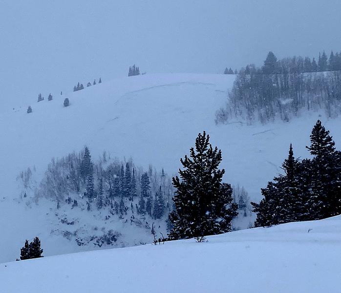
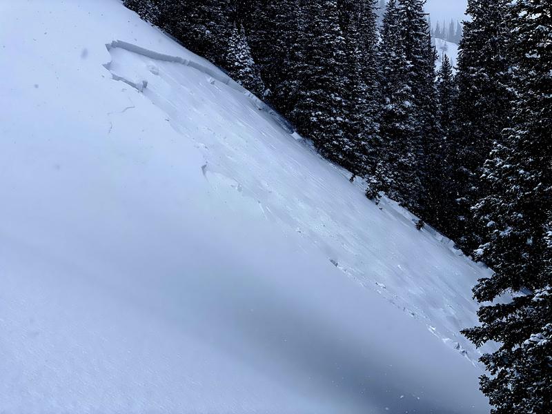
Two more remotely triggered avalanches reported along the Park City ridgeline yesterday, each running on the PWL (persistent weak layer) of weak sugary facets.
No No Name - 9700' East facing 2-3' deep 300' wide, triggered from 200' away (1st photo, Nalli)
No Name shoulder - 9200' NE facing 2' deep 50' wide, triggered from 100' away. (2nd photo, Nalli)
Some natural and human triggered loose snow sluffing also noted in the new snow.