Greg Gagne
Forecaster
Our Week in Review highlights significant snowfall, weather, and avalanche events of the prior week. (Review the archived forecasts for the Salt Lake mountains.)
The danger roses for the Salt Lake mountains from Friday, January 21 through Thursday, January 27:

Summary: Like most of January, another very quiet week with only a few inches of snowfall. Much of the period is cold and clear with occasional moderate winds. Of note, the few inches of snowfall this week has left the snow surface weak with near-surface facets and surface hoar. This may be a weak layer with any future storms:
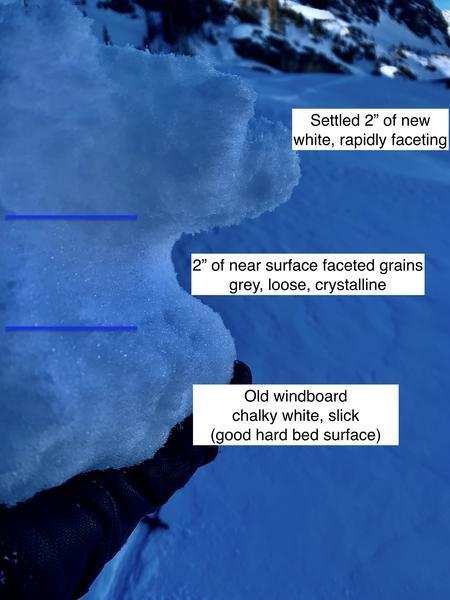
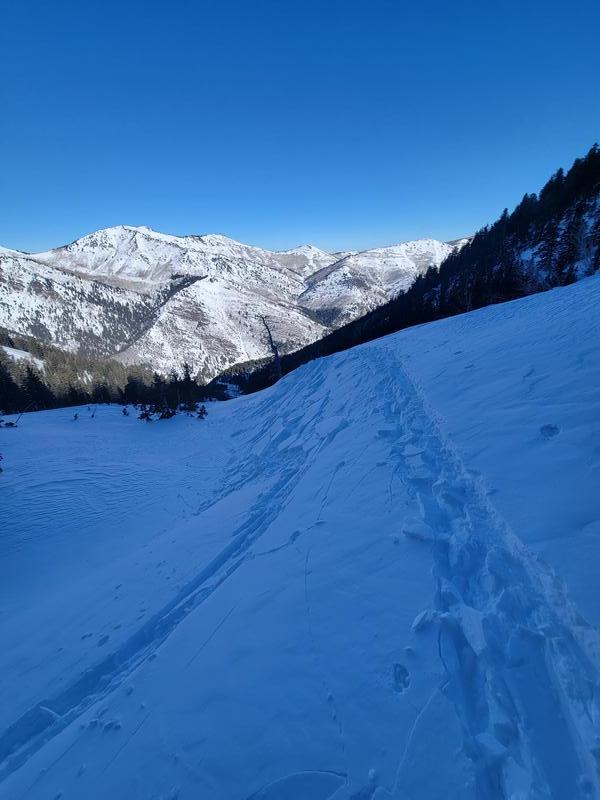
Friday, January 21: 2-4" of new snow overnight that fell on top of a weak, pre-existing snow surface consisting of neara0surface facets and surface hoar. Moderate winds created a few pockets of shallow wind drifts in exposed terrain that were 6-12" deep and up to 50' wide.
Saturday, January 22: Clear skies and light winds. No backcountry avalanches are reported.
Sunday, January 23: Clear skies and light winds. No backcountry avalanches are reported.
Monday, January 24: Continued clear skies with an increase in winds from the west/northwest. No backcountry avalanches are reported.
Tuesday, January 25: Cloudy skies with 1-2" of snowfall overnight into Wednesday morning. No backcountry avalanches are reported.
Wednesday, January 26: Clear skies and cold temperatures. No backcountry avalanches are reported.
Thursday, January 27: Another day of clear skies and cold temperatures. Moderate to strong winds from the west/northwest create a few small pockets or fresh wind drifted snow.